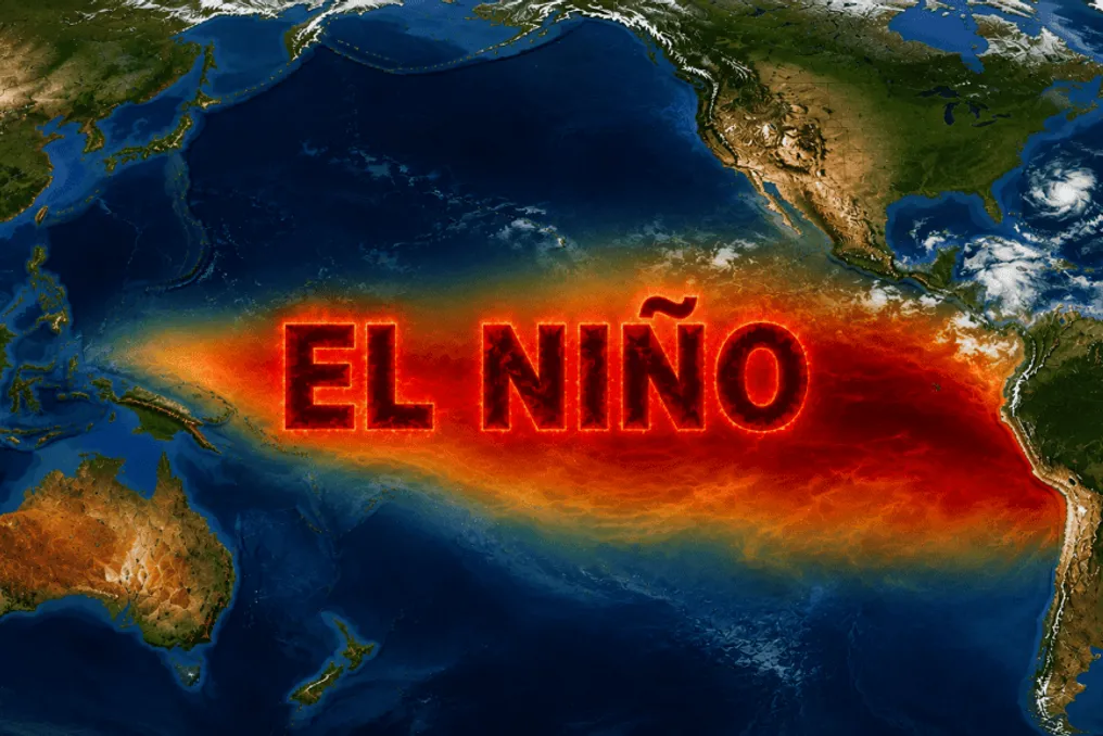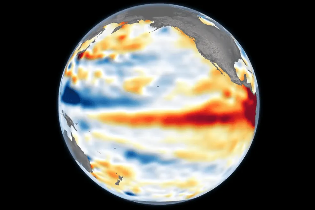
El Niño recorded a historic mark during the month of October. According to data provided by the National Institute of Meteorology (Inmet), the sea surface temperature in the area known as "Niño 3.4," located in the central Pacific Ocean, exceeded the historical average by 2.47 °C. This anomaly represents the largest record ever observed in this region in an October.
On October 5th, the waters in that part of the Pacific reached 30.06 °C, marking the first time this temperature has surpassed 30 °C since the start of data collection. Anomalies exceeding +2 °C characterize this episode as a "Super" El Niño, an event considered rare with the potential to modify temperature and precipitation patterns in various parts of the globe.
Although the term "Super" El Niño is not a precise scientific classification—Inmet prefers to use the expression "very strong El Niño"—the trend indicates that greater warming in the Pacific increases the probability of severe impacts, although this is not a guarantee.
So far, there are no signs that the phenomenon is weakening. El Niño consolidated in June and has shown progressive acceleration. The World Meteorological Organization (WMO) estimates that the peak of the phenomenon will only occur in December, potentially becoming one of the largest recorded since 1950, the starting point of detailed measurements.
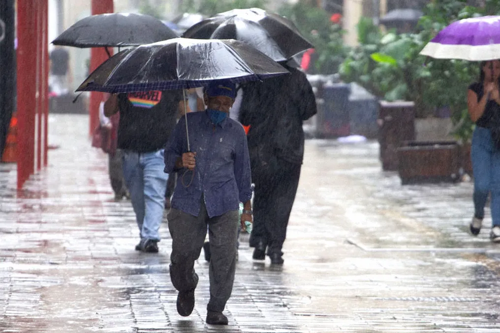
For the period between November and January, Inmet predicts a higher probability of above-average rainfall in the South regions, and in parts of the Southeast and Midwest. On the other hand, below-average precipitation is expected in much of the North and in areas of the Northeast, while temperatures are expected to remain high throughout almost the entire national territory.
Meteorologists draw parallels with the Super El Niño that occurred in 1982-83, one of the most impactful climate events of the 20th century. In October 1982, the anomaly in the Niño 3.4 region reached +2.07 °C, setting a monthly record until then, and the event lasted until the first half of 1983. Since 1950, three "super" events have been documented: 1982-83, 1997-98, and 2015-16.
El Niño is a natural climatic phenomenon that has occurred for millennia, notable for altering global atmospheric circulation due to the unusual warming of surface waters in the Pacific along the Equator Line, thus modifying rainfall and temperature patterns in different locations in Brazil and around the world.
This phenomenon is intrinsically linked to the trade winds, a system of wind currents blowing from east to west in the equatorial band. Normally, these winds drive the sun-warmed surface waters from the South American coast towards Asia and Oceania. When this warmed layer moves away from the South American coast, colder water from the depths rises to replace it, a process called upwelling. This results in a warmer ocean to the west and a colder one to the east, creating a temperature gradient that influences the winds and acts as the engine of atmospheric circulation in the Pacific.
This dynamic occurs because the warm ocean, positioned on the Asian side, heats the air, while the cold ocean, on the American side, cools the air. Hot air, being less dense and lighter, rises, forming a low-pressure zone; conversely, cold air, being denser, sinks, generating a high-pressure area. The movement of air from high to low pressure causes surface winds from east to west, and at the upper level, the flow occurs in the opposite direction. This cycle constitutes the Walker Circulation, essential for maintaining active trade winds.
An El Niño year is triggered by the weakening of the trade winds. With the reduction in wind intensity, the standard balance is broken: warm water masses accumulated in the west disperse to the center and east of the Pacific, the rise of cold water near South America decreases, and the thermal disparity between the two sides reduces, which in turn further weakens the trade winds in a feedback loop.
Although El Niño is an ancient phenomenon, its impacts become more severe with the gradual increase in global average temperature since the 19th century, driven by greenhouse gas emissions, resulting in more destructive droughts, floods, and heatwaves.
The consequences of these changes are varied: droughts are common in Central America, Southern Africa, Southeast Asia, and Australia. Meanwhile, the coasts of Peru and Ecuador, East Africa, and the southern United States frequently experience torrential rains and floods. Additionally, cyclones and typhoons in the Pacific may gain intensity, although each El Niño event has its own characteristics.
In the Brazilian context, the effects are regional. Regions such as the North and Northeast tend to suffer from droughts, while the South records above-average rainfall volumes. Such variations can compromise agricultural production, water supply, and increase the risk of natural disasters.