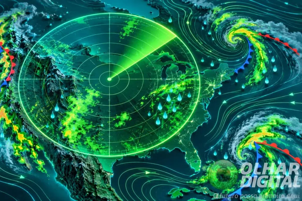
The federal government and the National Network of Education and Research (RNP) launched a panel on Tuesday (the 3rd) that allows for the visualization of climate change forecasts, such as changes in temperature and precipitation patterns in Brazil and Latin America over the coming decades.
The tool, integrated into the AdaptaBrasil platform, displays maps with various global warming scenarios. This data can help identify climate risks and guide the planning of adaptation measures.
AdaptaBrasil aggregates climate risk indicators for 5,570 municipalities in Brazil, taking into account climate threats, exposure, and vulnerability. The new panel expands the available information, including temperature and precipitation forecasts, as well as indicators related to extreme events.
The maps allow for the comparison of four levels of global warming, demonstrating how projected changes are geographically distributed. According to Christian Mizyara, RNP solutions manager, presenting these indicators in a single interface helps to understand how climate threats may manifest as global temperatures rise.
Access to this information is viewed as a starting point for planning adaptation measures. During the launch, Marcio Rohas da Cruz, General Coordinator for Climate at the Ministry of Science, Technology and Innovation (MCTI), emphasized the importance of knowing possible climate scenarios. He stated: 'This is the first necessary information to start thinking about adaptation. You cannot think about adaptation before imagining our future from a climate perspective.'
Jean Ometto, senior researcher at the National Institute for Space Research (INPE), also noted the fundamental nature of the forecasts for risk calculation. However, he reminded that this data contains uncertainties, and science strives to provide increasingly clear, reliable, and transparent information to support planning.
According to INPE researcher Gilvan Sampaio, who was responsible for presenting the panel, its first version features a simple navigation interface. The institute is working on the ability to load climate data by territory and biome. The platform will also need to include other variables such as relative humidity, wind, and radiation. Sampaio believes this information will be valuable for researchers, research groups, and other users, including the public.
During the presentation, Aloisio Melo, Secretary for Climate at the Ministry of Environment, linked this initiative to the government's efforts to make climate adaptation a priority. He highlighted the update to the Climate Plan and the development of a more comprehensive adaptation plan, structured into 16 sectoral and thematic plans. This work aims to overcome historical socio-economic vulnerabilities exacerbated by climate change.