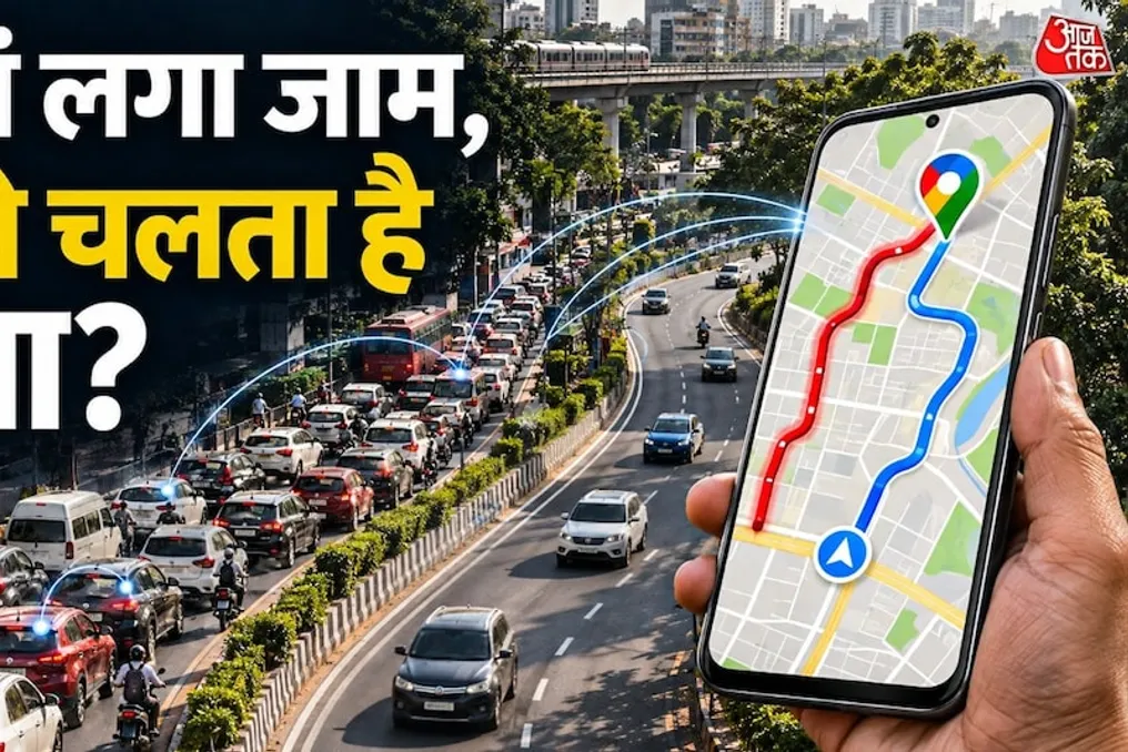
Many users have encountered Google Maps when searching for a route, and during this process, they see information about road traffic displayed in different colors: green, orange, and red. These colors allow them to easily understand which roads are clear and where heavy traffic jams have formed.
However, the question arises as to how exactly Google Maps learns about traffic jams, since Google employees cannot be present on every road in cities like Delhi or Mumbai? Moreover, the system is capable of tracking the gradual increase in traffic on specific sections.
The reason lies not in the use of a single camera or satellite device. Google Maps uses a comprehensive approach, combining numerous different data sources to assess the traffic situation. In this regard, the greatest role is played by the smartphones of users who use the Google Maps service itself.
Smartphones play a key role in providing traffic data. When a person opens Google Maps on their phone and grants location access, the system analyzes the data from their journey and the speed of transport on the road. For example, if hundreds of people are traveling on a certain street in Delhi simultaneously, and the geolocation data shows that all vehicles are moving significantly slower than normal, Google understands that there is high congestion on that road.
Thus, Google does not need to install its own devices in every car; the information received from the smartphones of people in motion helps the system understand the current traffic condition.
Speed is another critically important indicator for detecting traffic. Suppose that normally the speed on a certain road is 50 kilometers per hour. If suddenly the average speed drops to 5–10 kilometers per hour, Google Maps receives a signal of slowed movement. If similar data comes from multiple phones, it becomes easier for the system to identify a traffic jam. After this, the map can display that road in red or orange, signaling the presence or absence of a jam.
Google Maps does not rely solely on real-time data; it also stores and analyzes historical traffic records. For instance, if it is known that a traffic jam forms on a certain road every Monday from 9 to 10 AM, Google Maps learns this regular pattern. Similarly, data on traffic growth during rush hours, when people commute to work or return home, as well as at the beginning and end of the school day, is collected. Thanks to this data, Google Maps can predict in advance where traffic congestion might occur in the future, allowing users to see a potential jam even before they start their journey.
Traffic information reaches Google Maps not only through smartphones but also through reports provided by ordinary people. If an accident occurs on the road or a vehicle breaks down and stops in the middle of the roadway, a passerby can report this incident through Google Maps. Users can report various problems, including: road accidents, vehicle breakdowns, road repair work, road closures, or any obstacles in the way.
When other users confirm this information or the system receives additional signals, Google Maps can warn other users about the situation. Furthermore, in India, Google receives information about road closures and repairs from local traffic police authorities and other government bodies.
When viewing traffic in Google Maps, different colors denote the road's condition. Each color has its meaning: green indicates that traffic is moving at a normal speed, and there are no serious traffic problems. Orange or yellow means a decrease in speed, meaning traffic is increasing, but this does not necessarily mean a prolonged jam. Red signals high congestion and very slow movement, while dark red indicates a severe jam.
Thanks to these color indicators, the user can assess the situation on the route without reaching the destination.
The function of Google Maps goes beyond simply displaying traffic jams; it also offers optimal routes to reach the destination in the least amount of time. For example, if one needs to travel from Noida to Delhi, and there are two route options, the system will help choose the one that ensures faster arrival.