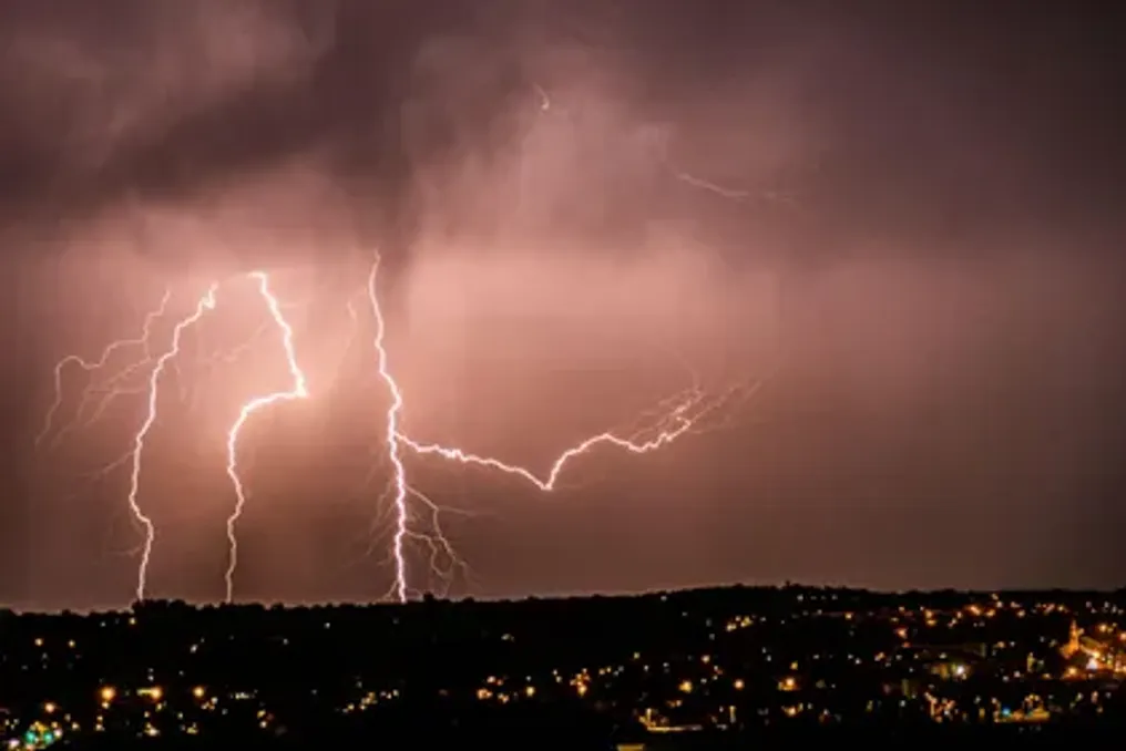
High Alert Declared in KwaZulu-Natal Due to Severe Storm Threat; Heatwave Expected in Highveld
Read more
IOL
iol.co.za

High Alert Declared in KwaZulu-Natal Due to Severe Storm Threat; Heatwave Expected in Highveld

Disaster management and emergency response personnel in eThekwini have been placed on high alert ahead of possible severe thunderstorms that may begin from midday.

This is due to a Yellow Level 4 warning issued by the South African Weather Service (SAWS). The forecast predicts heavy rainfall, hail, and powerful lightning in most areas of KwaZulu-Natal, with the exception of the northeastern part. The meteorological service also warned of potential flooding in some locations.

Disaster management teams are monitoring areas at risk of inundation, while emergency personnel and equipment are ready for rapid deployment as needed, according to the publication Arrive Alive.

Director of Disaster Management Vincent Ngubane stated: 'Our teams are closely monitoring areas affected by weather incidents, and resources are on standby for rapid response where necessary. We strongly urge residents to take the warning seriously and prioritize their well-being.'

Heatwave in the Highveld

Furthermore, SAWS has issued a Yellow Level 2 warning regarding severe thunderstorms and possible localized flooding in the eastern and northeastern parts of the Eastern Cape. Meanwhile, over the Highveld, including northern Gauteng, certain sections of the Mpumalanga escarpment and central Eastern Cape are expected to experience a heatwave with persistently high temperatures.

In Polokwane and Apington, temperatures are forecast to reach 34°C, while Pretoria and Johannesburg are expected to see 33°C and 32°C, respectively. Western parts of the country, conversely, promise cooler conditions: Cape Town is expected to reach 22°C, and George 19°C.

Expected Maximum Temperatures:

The temperature forecast includes the following values: Johannesburg – 32°C, Pretoria – 33°C, Vereeniging – 32°C, Mbombela – 35°C, Polokwane – 34°C, Mahikeng – 35°C, Freeburg – 32°C, Bloemfontein – 29°C, Kimberley – 32°C, Apington – 34°C, Cape Town – 22°C, George – 19°C, Gqeberha – 21°C, Kgompo City – 22°C, Durban – 27°C, Richards Bay – 31°C, Pietermaritzburg – 26°C.

Extremely high fire danger conditions are expected in the central and eastern regions of the Northern Cape, as well as parts of the Free State and central North West.
Similar stories

Yellow Level 2 Thunderstorm Warning Issued for Etwvukini City
Read more
iol.co.za

Yellow Level 2 Thunderstorm Warning Issued for Etwvukini City

A Yellow Level 2 warning for severe thunderstorms has been issued for some areas of KwaZulu-Natal. Residents of Etwvukini are advised to prepare for heavy rainfall, destructive winds, and possible flooding until Monday, October 26th.

The Municipality of Etwvukini reported that the region may be significantly affected by heavy downpours, wind gusts, hail, and intense lightning strikes, posing a threat to residents, infrastructure, and drivers.

This warning is expected to remain in effect until Monday evening. The municipal disaster management directorate and emergency services are on high alert.

SAWS warned that severe thunderstorms could trigger localized flooding and damage infrastructure and settlements in the central and eastern parts of KwaZulu-Natal.

Forecasted conditions may lead to the inundation of roads, bridges, and low-lying areas. Additionally, poor visibility and slippery road surfaces could make driving dangerous.

Residents in flood-prone areas, especially those living in informal settlements, are strongly advised to take precautions and remain vigilant as the situation develops.

The municipality advised drivers to reduce speed, maintain a safe distance, and exercise caution when traveling in wet weather. The municipality also recommended that residents stay indoors if possible and avoid unnecessary travel.

Residents were also instructed not to attempt crossing swollen rivers or streams, especially if the water level exceeds ankle height.

The municipality stated that its Disaster Management Directorate and emergency services are ready to respond to weather-related incidents.

Residents are advised to monitor the municipality's official communication channels, as the warning may change depending on weather conditions.

SAWS' broader forecast for Sunday and Monday indicates partly cloudy and warm or hot conditions, with possible isolated or scattered rain and thunderstorms over the central and eastern parts of South Africa. Severe thunderstorms are possible over KwaZulu-Natal and the eastern half of the Eastern Cape. The weather service also warned of extremely high fire danger across most of the central massif, as well as in some parts of northern KwaZulu-Natal and the Eastern Cape.

For emergency assistance, residents in need should contact the Etwvukini Disaster Management Centre at 031 361 0000.

Extreme fire danger warning issued due to rising temperatures in some regions of the country
Read more
iol.co.za

Extreme fire danger warning issued due to rising temperatures in some regions of the country

Residents of South Africa are waking up to a Saturday that is generally expected to be warm and favorable, but temperature increases to hot and very hot levels are anticipated in several areas.

The South African Weather Service has issued an extreme fire danger warning for the Nama Khoi municipality in the Northern Cape. Residents in this area are advised to exercise caution, especially when dealing with open flames or engaging in activities that could trigger wildfires.

KwaZulu-Natal is expected to have variable cloudiness and warm weather, with forecasts of isolated afternoon showers and thunderstorms in the north and far west of the province. Morning fog is expected over parts of the southern and far western inland areas, while temperatures will be hot in the northwest.

Gauteng is forecast to have clear and warm weather, which will become hot in the far north. A very high UV burn index is expected, so residents should take precautions against prolonged sun exposure.

In Mpumalanga, conditions will be favorable and warm in most areas, although variable cloudiness or cloud cover is expected in the east. Patches of morning fog and the possibility of light rain or drizzle are forecast over Lowveld and the escarpment.

In Limpopo, it will be hot in some western areas, while the rest of the province can expect clear and warm weather. More cloudy conditions, patches of morning fog, and a chance of light rain are forecast along the escarpment and in the Lowveld areas.

The North West province will experience clear and warm or very warm weather, while Free State is expected to be clear and warm or hot before becoming partly cloudy.

In the Northern Cape, the southeast will be partly cloudy, and other areas are expected to have favorable and warm or hot conditions. Temperatures are expected to reach very high levels in some places. Fresh or strong southeasterly winds are forecast along the coast.

In the Western Cape, morning cloud is expected along the western and southern coasts before the weather becomes clear. In most areas, the weather will be cool or warm, but it will be hot along the west coast and over the Central Karoo. A high UV burn index is expected.

The western half of the Eastern Cape may expect favorable and warm or hot conditions after morning fog in some southern areas. The eastern half is forecast to have patches of morning fog south of the escarpment, followed by clear and warm weather.

A very high UV burn index is forecast for Gauteng and KwaZulu-Natal, as well as a high one for the Western Cape. Residents are advised to limit prolonged exposure to direct sunlight and use appropriate sun protection.

The main fire hazard concern is related to the Nama Khoi municipality in the Northern Cape, where extremely high fire danger conditions are expected.

Severe Weather Warning Issued in Durban: Strong Storms and Wind Gusts Up to 83 km/h Expected
Read more
iol.co.za

Severe Weather Warning Issued in Durban: Strong Storms and Wind Gusts Up to 83 km/h Expected

Residents of Durban and surrounding areas are strongly advised to take precautions as the South African Weather Service (SAWS) has issued severe weather warnings for the eThekwini region for Monday, October 19th.

The municipality reported that its emergency management, fire, and emergency services teams are on high alert due to the forecasted conditions. These conditions may lead to localized flooding, structural damage, and hazardous road conditions.

SAWS has issued a Level 4 warning for severe thunderstorms, effective from 13:00 to 23:59 on Monday, as well as a Level 2 warning for destructive winds, which comes into effect at 11:00 on Monday and lasts until 6:59 am on Tuesday, October 20th.

The forecast includes heavy rainfall, excessive lightning activity, possible hail, and southerly winds reaching speeds of up to 83 km/h.

The combination of powerful thunderstorms and strong winds is capable of creating dangerous conditions in various parts of eThekwini. Heavy precipitation can cause localized flooding, while strong winds can damage buildings and blow unsecured items outdoors. Furthermore, lightning and hail pose additional risks to residents, drivers, and pedestrians.

The municipality urged citizens to remain vigilant and monitor official weather updates as the situation develops.

The eThekwini municipality stated that emergency service personnel are on standby to respond to weather-related incidents. The Durban Metro Police will monitor flood-prone areas, manage traffic, and close roads if conditions are deemed unsafe.

Drivers are advised to exercise caution, especially in areas affected by heavy rain, poor visibility, or flooding. Residents should avoid unnecessary travel during severe weather and never attempt to cross flooded roads or fast-flowing water, whether on foot or by vehicle.

The municipality recommended that residents take the following precautions: avoid non-essential travel and stay indoors if possible while severe weather persists; stay away from floodwaters, never driving or walking through flooded roads or fast-flowing currents; secure outdoor items by bringing furniture and other unsecured belongings inside, and moving valuables above the expected flood level; avoid beaches, rivers, and the coastline during severe weather; and take thunderstorm precautions by staying indoors, staying away from windows, and unplugging electrical appliances if safe to do so.

Residents should track official municipal and SAWS communication channels for further updates and changes to weather warnings. For emergency assistance, residents can contact the eThekwini fire and emergency service at 031 361 0000.

Popular