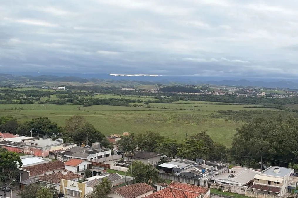
Residents of Vale do Paraíba and surrounding areas should expect to wait longer for the characteristic spring heat. The excess clouds and high frequency of rainfall have kept temperatures moderate in the area, and the projection for November points to a similar scenario, with moments of warming, but without long sequences of hot days.
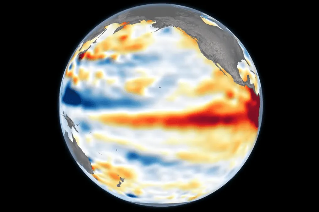
Meteorologist Josélia Pegorim, from Climatempo, attributes this climatic pattern to changes in wind circulation caused by El Niño, a climate event that affects weather conditions in Brazil. She had anticipated that October would bring excessive cloudiness and precipitation, which would prevent a significant increase in temperatures.
Why is it raining so much and not getting hotter?
As explained by Josélia, the increase in clouds and rain in Vale do Paraíba began to intensify in September, after several cold fronts passed over the coast of São Paulo. Even after these systems passed, the maritime air circulation continues to bring moisture to eastern São Paulo, which facilitates the formation of large amounts of clouds.
The specialist detailed that when a cold front passes, a maritime air circulation enters that injects a lot of humidity into eastern São Paulo state, generating many clouds even after heavy rain stops. In October, besides the cold fronts, other meteorological systems contributed to regional instability. The constant presence of clouds and rain reduces solar incidence and hinders temperature increases.
Josélia emphasized that although a typical October can be hot, the excess clouds and rain, resulting from El Niño, have prevented temperatures from rising too much.
What will the weather be like in November?
The forecast indicates that November will also feature recurring episodes of rain and cloudiness in Vale do Paraíba, which tends to inhibit temperature rises. Although the month is usually hotter than October, the expectation is that periods of heat will be brief. Josélia warned that there will be some heat peaks, but one should not count on prolonged days of sun and heat.
Although the region may record days with higher temperatures, the probability is that these moments will not last long. She mentioned that it would be difficult to have an entire week with heat around 30 degrees in November. The last week of October should also bring climatic changes, as a new cold front is expected to reach São Paulo on November 1st. After the passage of this system, the trend is for more cloudy days and mild temperatures, although in early November temperatures may rise again, keeping the heat period short.
El Niño is expected to continue influencing the climate
According to Josélia Pegorim, the influence of El Niño on the Brazilian climate should persist throughout spring and summer, potentially extending into part of the following autumn. The meteorologist informed that states such as São Paulo, Paraná, and Mato Grosso do Sul are experiencing days of great instability.
She emphasized that the excess cloudiness and rain seen in October constitutes an atypical scenario for the period, but one that aligns with what was predicted for this October. Thus, the expectation for November is a month marked by the alternation between rain, cloudiness, and warmer days, without a lasting predominance of sun and heat.