Residents of Macapá can reach the European Union by car, but not Belém. Amapa is the only Brazilian state that lacks road connectivity with the rest of the country. The sole land exit is through a bridge over the Oiapoque River, which leads to French Guiana, a overseas territory of France.
To connect with the rest of Brazil, water or air routes are necessary. Trucks are transported on barges along the Belém–Macapá and Santarém–Macapá routes, which function as a water extension of the road network. Even fuel is delivered by boat.
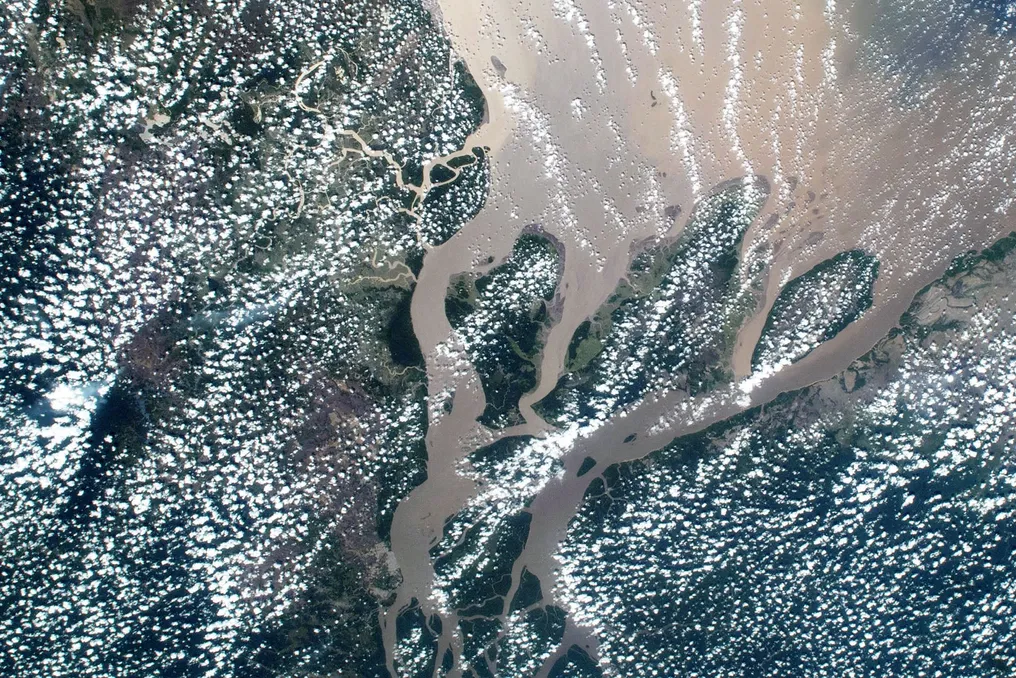
The problem of isolation has once again come into focus after Petrobras confirmed the presence of oil off the coast of the state, opening up unprecedented potential for wealth in the region. Between Amapa and the rest of the country lies the mouth of the Amazon—a labyrinth of channels, islands, and floodplains. There is no single bridge across the main river channel.
More than 70% of the territory in Amapá is a protected area. To illustrate the scale of the problem, a bridge between Macapá and Belém, located on a straight line 330 km apart, would have to cross the Amazon channels, traverse Marajó Island (almost the size of Rio state and also lacking roads to the mainland), and cross the Marajó Bay. Only the Amazon has a section about 2 km wide at its narrowest point, in Obidos (PA). The Rio Negro Bridge in Manaus is nearly 3.6 km long and cost over 1 billion reais.
Under the water, the channel reaches a depth of 100 meters, and the bottom consists of a field of sand dunes up to 12 meters high, which move with the current, according to the Coppe/UFRJ hypothesis. On the surface, the water level fluctuates by approximately 10 meters between dry and flood seasons.
The economic aspect is also important: since 88% of the GDP comes from services, the state has never generated cargo that could justify building such infrastructure. Electricity arrived before asphalt, thanks to the Tucuruí Line, which supplies energy from the Pará hydroelectric plant and crosses the river on 295-meter-high pylons.
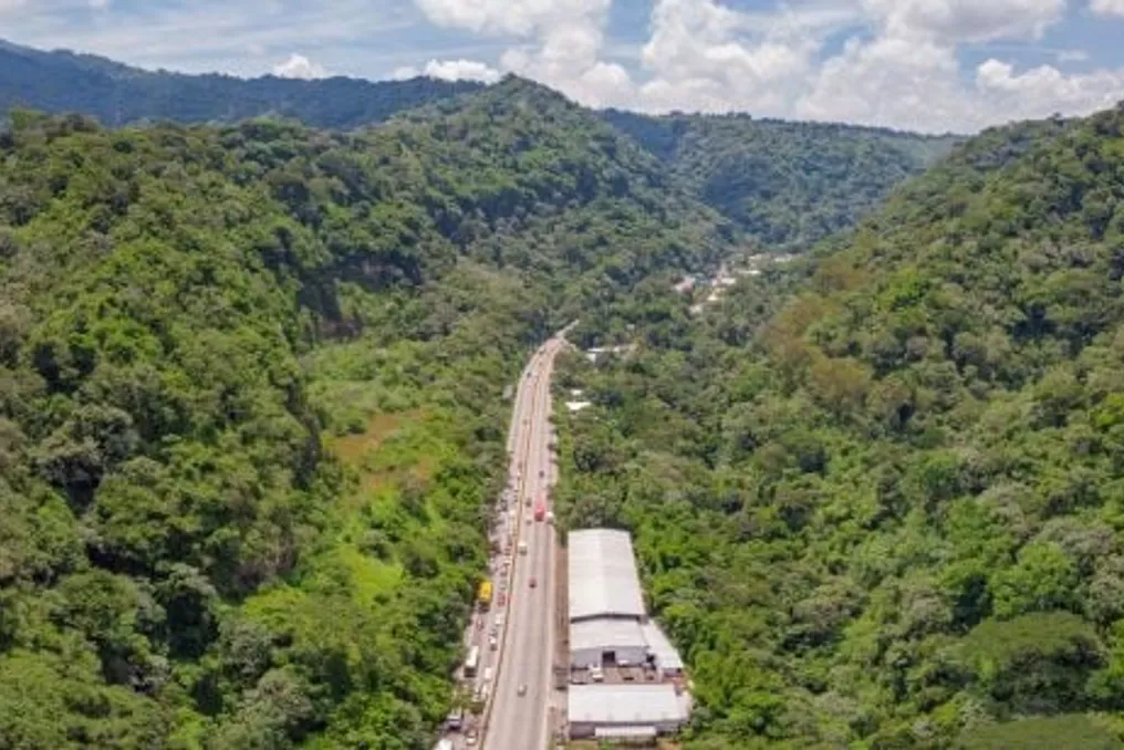
On the map, BR-156 looks like an exit. In the southern section, it runs about 245 km from Macapá to Laranjal do Jari, on the border with Pará, and stops at the bank of the Jari River. On the other side is Monte Dourado (PA), which can only be reached by boat, from where a local road leads to Almeirim, back to the banks of the Amazon. Even this section is not fully paved: DNIT signed a contract in July for another 62 km of paving, scheduled for completion in 2030.
The northern perimeter road (BR-210) began opening in 1973 in Porto Grande (AP) to connect Macapá with the western border. Of the planned more than 2400 km, only about 810 km exists. A 406-meter bridge over the Jari River, between Laranjal do Jari and Monte Dourado (PA), began construction in the early 2000s but turned into abandoned supports.
Even if completed, it would lead to another northern side of the Amazon that is still separated from the national network by the river. Real connection would require crossing the Amazon itself.
Within the state, 355 out of 796 km of BR-156 remain unpaved. A Unifap study showed that transport companies lose up to 20% of goods during rains between Calsoene and Oiapoque. A native resident interviewed by Uece researchers explained the delay in construction by saying that the forest spirits had not yet given permission.
Even licensing a well faced distance issues. An oil-affected animal would take 22 to 31 hours to reach the Petrobras rehabilitation center in Belém, and Ibama required a base in Oiapoque.
What if oil arrives? Petrobras predicts that extraction will begin in seven years, and the offshore operation depends on the sea and air, not on roads. Pressure will decrease on the Port of Santana, which processed a record 3.8 million tons in 2025, as well as on airports and cities.
Oiapoque is already feeling the effects, manifested in unauthorized construction and rising rent. Mayor Inácio Masiel told the newspaper Folha: 'The benefits of oil have not yet arrived, but the consequences are already here.'
CNI estimates that the Equatorial region could increase Amapa's GDP by 61.2%. However, local experience dictates caution: according to Unifap, Calsoene received asphalt in 2007 but did not develop more than Oiapoque. Roads alone are insufficient, and oil without planning risks repeating the fate of Macapá.