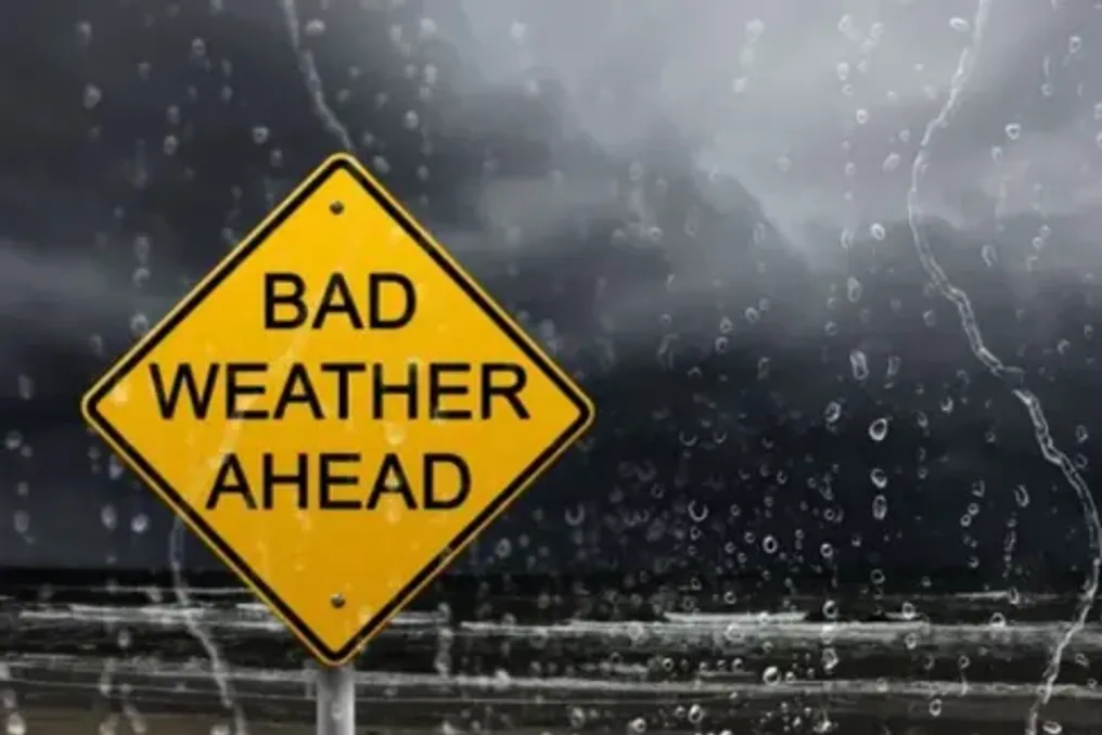
Yellow Level 2 Thunderstorm Warning Issued for Etwvukini City
Read more
IOL
iol.co.za

Yellow Level 2 Thunderstorm Warning Issued for Etwvukini City

A Yellow Level 2 warning for severe thunderstorms has been issued for some areas of KwaZulu-Natal. Residents of Etwvukini are advised to prepare for heavy rainfall, destructive winds, and possible flooding until Monday, October 26th.

The Municipality of Etwvukini reported that the region may be significantly affected by heavy downpours, wind gusts, hail, and intense lightning strikes, posing a threat to residents, infrastructure, and drivers.

This warning is expected to remain in effect until Monday evening. The municipal disaster management directorate and emergency services are on high alert.

SAWS warned that severe thunderstorms could trigger localized flooding and damage infrastructure and settlements in the central and eastern parts of KwaZulu-Natal.

Forecasted conditions may lead to the inundation of roads, bridges, and low-lying areas. Additionally, poor visibility and slippery road surfaces could make driving dangerous.

Residents in flood-prone areas, especially those living in informal settlements, are strongly advised to take precautions and remain vigilant as the situation develops.

The municipality advised drivers to reduce speed, maintain a safe distance, and exercise caution when traveling in wet weather. The municipality also recommended that residents stay indoors if possible and avoid unnecessary travel.

Residents were also instructed not to attempt crossing swollen rivers or streams, especially if the water level exceeds ankle height.

The municipality stated that its Disaster Management Directorate and emergency services are ready to respond to weather-related incidents.

Residents are advised to monitor the municipality's official communication channels, as the warning may change depending on weather conditions.

SAWS' broader forecast for Sunday and Monday indicates partly cloudy and warm or hot conditions, with possible isolated or scattered rain and thunderstorms over the central and eastern parts of South Africa. Severe thunderstorms are possible over KwaZulu-Natal and the eastern half of the Eastern Cape. The weather service also warned of extremely high fire danger across most of the central massif, as well as in some parts of northern KwaZulu-Natal and the Eastern Cape.

For emergency assistance, residents in need should contact the Etwvukini Disaster Management Centre at 031 361 0000.
Similar stories

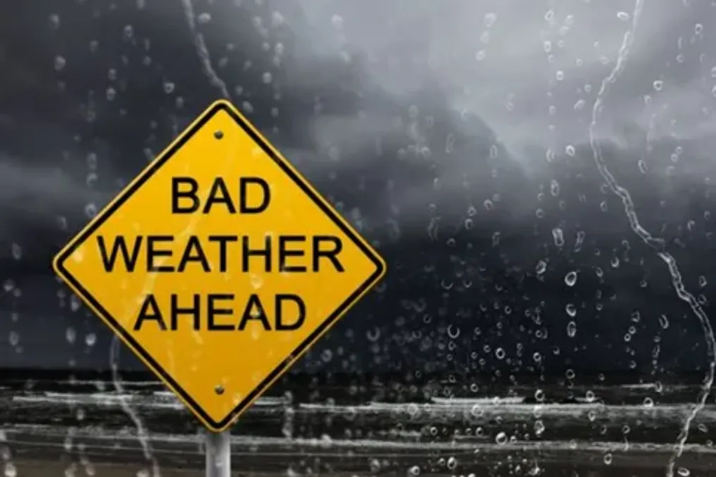
South African Weather Service warns of severe thunderstorms in KwaZulu-Natal
Read more
iol.co.za

South African Weather Service warns of severe thunderstorms in KwaZulu-Natal

The South African Weather Service (SAWS) has issued a Level 2 warning for severe thunderstorms in parts of KwaZulu-Natal. The service cautions that heavy downpours, destructive winds, hail, and lightning may trigger localized flooding and damage infrastructure.

The warning applies to several municipal areas, including district, local, and metropolitan municipalities in the central and eastern parts of the province. Listed locations include eThekwini, Big Five Hlabisa, Dr Nkosazana Dlamini Zuma, Mkhambathini, Impendle, Ingwe, KwaDukuza, Mandeni, Mpofana, Ndwedwe, Nkandla, Nquthu, Richmond, Mfolozi, Msinga, Mthonjaneni, Mtubatuba, Umdoni, Umlalazi, Msunduzi, Ubuhlebezwe, Ulundi, uMhlathuze, uMngeni, uMshwathi, uMvoti, and uMzumbe.

SAWS reported that strong thunderstorms accompanied by heavy rain, damaging winds, hail, and lightning are expected in the central and eastern parts of KZN, which will lead to localized flooding and damage to settlements and infrastructure.

The meteorological agency warned that storms are capable of damaging residential buildings and infrastructure facilities, causing roads and bridges to flood, and creating dangerous driving conditions. Furthermore, slippery roads and poor visibility may increase the likelihood of traffic accidents, while hail can cause property damage.

Drivers are strongly advised to exercise caution and avoid traveling over bridges and roads in low-lying areas prone to flooding. SAWS also warned of possible funnel cloud formation.

Residents are advised to stay indoors during thunderstorms, as lightning, hail, and flooding can lead to serious injuries or fatalities. If possible, people should remain inside, away from windows, shelter pets, and move vehicles and livestock to safe, protected areas to guard against hail and flying debris.

Overall, KwaZulu-Natal is expected to have cloudy conditions and morning fog in the south and far western inland region, while other areas will experience variable cloudiness and warmth. Isolated afternoon showers and thunderstorms are forecast for the northern and far western regions.

There is a 30% chance of isolated showers and thunderstorms in some inland areas, including regions near Free State, North West, the eastern inland region, and parts of KwaZulu-Natal. However, precipitation is expected to be localized, meaning some areas may remain dry despite nearby cloud cover.

Popular