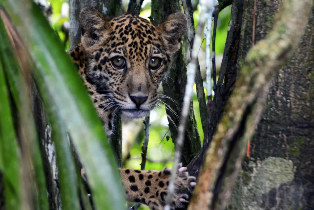
An international study revealed a vast area of approximately 6.5 million square kilometers that serves as a link between jaguar populations spread across 11 South American nations. This region is considered the essential backbone for preserving the largest feline found in the Americas. The results of this research were published in the scientific journal Global Change Biology.
The work, which represents the most comprehensive compilation to date on the species' movement, was conducted under the leadership of Brazilian researcher Guilherme Costa Alvarenga, affiliated with the Mamirauá Institute and the University of Oxford. The investigation used data collected from 86 females and 86 males, all monitored by GPS collars, resulting in a total of 231,017 location records. This data covers animals from diverse ecosystems and environmental conditions present in the jaguar's range.
Connected Network
In the South American context, the survey identified an extensive interconnected network covering the Llanos, Amazon, Gran Chaco, Pantanal, Cerrado, Caatinga, and Atlantic Forest, forming the so-called Green Corridor, situated between Argentina and Brazil. This is the largest and most relevant linkage system detected by the study.
The researchers mapped a total of 307 core areas, totaling about 7.75 million km², which corresponds to 55% of the species' current distribution area. It is important to note that almost half of this extent is located in Indigenous Lands and protected areas. Additionally, the study managed to identify 176 dispersal corridors between these regions.
Isolation
However, this connection is not continuous. The passage of animals is often obstructed or hindered by roads, urban centers, and agricultural zones, leading to the increasing isolation of certain populations. Interruptions were observed in Mexico and Central America. In the coastal Atlantic Forest of Brazil, the areas inhabited by the species appear to be quite isolated, both from the large South American network and from each other.
Population isolation leads to a decrease in genetic exchange among animals and increases the species' vulnerability. According to the study, the main factors negatively impacting jaguar movement are high population density, the presence of herds, and the alteration of natural environments. Conversely, ecologically richer areas close to rivers, lakes, and other water bodies proved more favorable for the species.
Reducing this isolation prevents gene flow, which is the exchange of genetic traits between individuals of different groups. The absence of this flow causes an increase in inbreeding, which can decrease the population's adaptive fitness and promote genetic diseases. Alvarenga explains that when the natural habitat is reduced and fragmented, fewer individuals can survive; furthermore, the inability to move forces animals to reproduce only within their own group, intensifying consanguineous matings. Over time, this can weaken adaptive capacity and promote genetic diseases, a scenario already seen in jaguar populations of the Atlantic Forest and Central America, areas where models indicate low connectivity.
Priority Areas
The maps generated by the study highlight the points where conservation initiatives can have the greatest impact, whether to safeguard populations, prevent the rupture of established links, or restore deteriorated pathways. Suggested measures include recovering vital spaces for animal movement, combating poaching, and mitigating conflicts between humans and large felines. In specific situations, the research points to the possibility of animal translocation or reintroduction.
In a secondary analysis, scientists specifically focused on possible links between Indigenous Lands and protected areas. The model identified 507 potential corridors between 905 areas distributed across the jaguar's current range.
Connections to Investigate
The study also pointed out potential connections that will require verification through new field research. One such possibility would be the link between the Darién region, on the border between Panama and Colombia, and the Llanos and the Amazon, crossing through Colombia and Venezuela. Another potential connection would involve the Green Corridor–Iguaçu, on the border between Argentina and Brazil, with the Serra do Mar, located between Paraná and São Paulo. Both hypotheses emerged in only one of the models, thus requiring a more cautious interpretation.