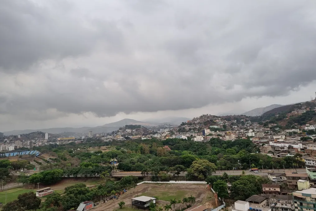
Rain and thunderstorms with winds up to 90 km/h expected in Mato Grosso do Sul over the weekend
Read more
Grupo Globo
g1.globo.com

Rain and thunderstorms with winds up to 90 km/h expected in Mato Grosso do Sul over the weekend

Precipitation is expected in Mato Grosso do Sul throughout the weekend. According to the forecast by Climatempo, weather instability will increase across the state starting this Saturday (the 24th).

In areas such as Coxim and Aquidauana, the weather should remain stable, with a maximum temperature of 38°C. However, intense and localized rain is predicted for the southernmost region.

Heavy Rain and Wind Gusts

Areas near the borders with Paraguay and Paraná are most susceptible to heavy rainfall, thunderstorms, and high water accumulation, creating a risk of localized flooding. In Munduruvu and Eldorado, precipitation volume may reach 40 millimeters. Other cities in the region are also expected to record rainfall.

Wind gusts may reach speeds of 90 km/h. On Sunday, the risk of thunderstorms persists across the entire state, with particular attention needed for the southeastern region. The forecast indicates accumulations of up to 60 millimeters in Bataguassu and Bataporã.

Similar precipitation volumes are expected in Rio Brilhante, Nova Alvorada do Sul, and Douradina in the central-southern region. Rain should affect almost the entire state, with the lowest amounts forecasted in Corumbá and the highest in Ponta Porã, Dourados, and Campo Grande.

Temperatures Will Drop on Sunday

Sunday will bring milder temperatures to Mato Grosso do Sul. In Campo Grande, the maximum temperature is predicted to drop from 33°C on Saturday to 27°C on Sunday.

For the state capital, Climatempo and the National Institute of Meteorology (Inmet) predict precipitation accumulation of between 20 and 30 millimeters.

Similar stories

Cold front will bring rain to several regions of Brazil on election Sunday
Read more
olhardigital.com.br

Cold front will bring rain to several regions of Brazil on election Sunday

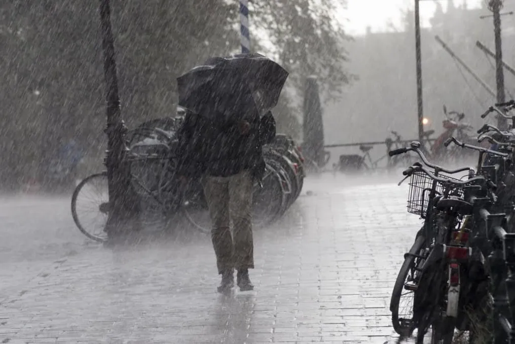
The passage of a cold front will influence the weather on election Sunday, the 25th, bringing rain and risk of storms to parts of South-Central Brazil, while the North and Northeast are expected to have high temperatures.

In the South and Southeast regions, rain is forecast in various locations. In contrast, in the North and Northeast, most areas should be marked by sun and heat, although there is a possibility of isolated showers.

The South Region is expected to record rain in different points, with highlights for Paraná, Santa Catarina, and the northern and northeastern areas of Rio Grande do Sul. There is a yellow alert for potential danger from storms in some of these federative units, covering their respective capitals.

Temperatures in the South Region tend to decrease; for example, the predicted maximum is 20°C in Curitiba, 19°C in Florianópolis, and 18°C in Porto Alegre.

In the Southeast, rain accompanied by thunder is expected in São Paulo, Rio de Janeiro, as well as areas of Minas Gerais and Espírito Santo, keeping the weather unstable in much of the region. In São Paulo, the maximum should not exceed 21°C.

In other Southeast capitals, the heat will persist, with highs reaching up to 30°C in Belo Horizonte and Vitória. Meanwhile, in the Central-West, instabilities are expected to intensify, especially in Mato Grosso do Sul, southern Mato Grosso, and south-central Goiás. The Federal District may also experience scattered rain, but heat remains in part of the area, with a forecast maximum of 39°C in Cuiabá.

Sunday promises sun and high temperatures in many locations in the North and Northeast. There is a chance of precipitation in parts of Amazonas, Acre, Rondônia, Pará, and Tocantins. In the Northeast, rain should be concentrated mainly in the southwest of Maranhão, west of Piauí, and in the western and southern regions of Bahia.

Teresina, in Piauí, may record the highest predicted temperature among the capitals, reaching 40°C. In the North, the weather will be hot, with alternating clouds and little rain in northern Pará and Amapá. Meanwhile, states such as Ceará, Rio Grande do Norte, Paraíba, Pernambuco, and Alagoas, as well as much of Piauí, should have clear skies in the Northeast.

The cold front is projected to advance over the Atlantic Ocean, and a new moisture channel may favor rain in the North, Central-West, and Southeast, extending to Maranhão, Tocantins, Piauí, and Bahia. Simultaneously, the arrival of drier and colder air should cause a drop in temperatures in certain areas of the South-Central region.

East of Minas Gerais may see thunderstorms and temperatures up to 36°C on election Sunday
Read more
g1.globo.com

East of Minas Gerais may see thunderstorms and temperatures up to 36°C on election Sunday

Voters participating in the second round of elections this Sunday (25) should be prepared to face intense heat and the possibility of precipitation in cities located in Eastern Minas Gerais. Meteorologist Ruibran dos Reis predicts high temperatures throughout the day, an increase in cloud cover, and rain showers, especially starting in the afternoon, with a chance of thunderstorms in certain locations.

In Governador Valadares and Teófilo Otoni, thermometers may reach 36°C. In Ipatinga, the forecast maximum is 32°C. Projections indicate that Caratinga should register 29°C, while Manhuaçu will have a milder day, with a maximum of 26°C.

According to Ruibran's information, the passage of a cold front over the Southeast region's coast tends to favor the formation of rainy areas in both Eastern and Northeastern Minas Gerais. The expectation for Sunday is high cloudiness and the possibility of more vigorous rains late in the afternoon and early in the evening.

Storm Alert

The National Institute of Meteorology (Inmet) issued a potential danger notice regarding storms, valid for the entire Sunday, from midnight until 11:59 PM. This alert covers several areas, including Governador Valadares, Vale do Aço, and Manhuaçu.

According to the institute, rainfall of 20 to 30 millimeters per hour is expected, potentially reaching 50 millimeters throughout the day. Additionally, strong winds are forecast, varying between 40 and 60 km/h, and there is a possibility of hail.

Inmet classified the risk of events such as flooding, crop damage, falling tree branches, or power outages as low. Despite this, the official guidance is for citizens to follow meteorological updates and remain vigilant during periods of heavy rain.

Best Time to Vote

Considering the increased probability of rain during the afternoon, the suggestion made to voters in the region is to organize themselves to vote in the morning, when the chance of precipitation is lower, if feasible.

It is advisable to take climatic conditions into account when planning the route to the polling station, especially in cities where thunderstorms are forecast. Rain has the potential to intensify in the late afternoon and early evening, a period when stronger winds are also possible.

The second round will take place this Sunday (25). Voters need to check in advance where their polling station will be and allow enough time for travel, without neglecting to monitor weather warnings throughout the day.

Popular