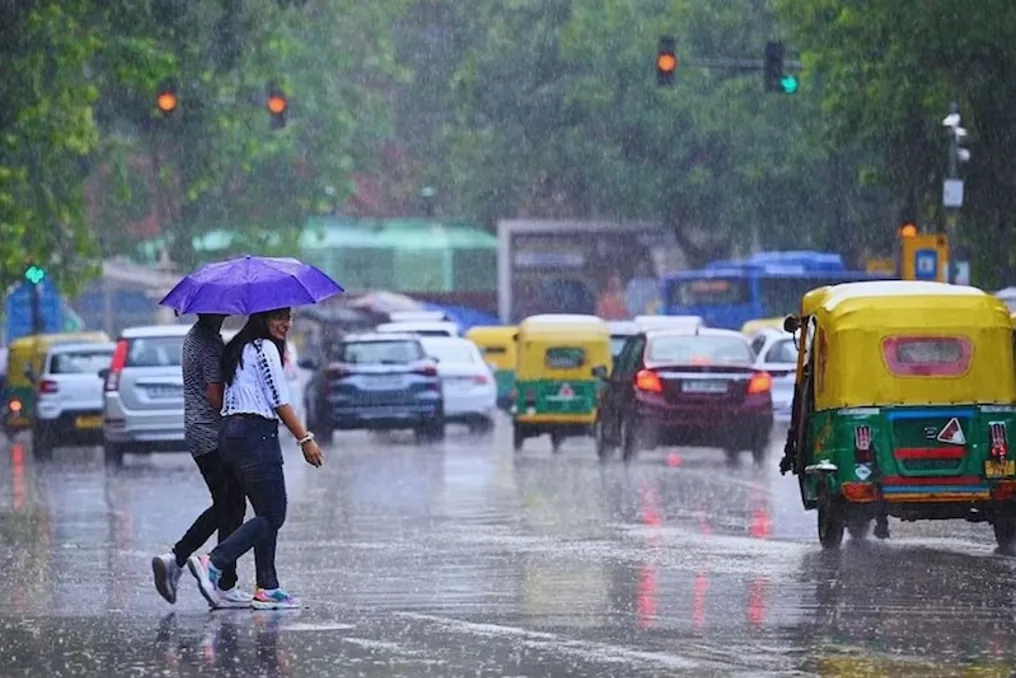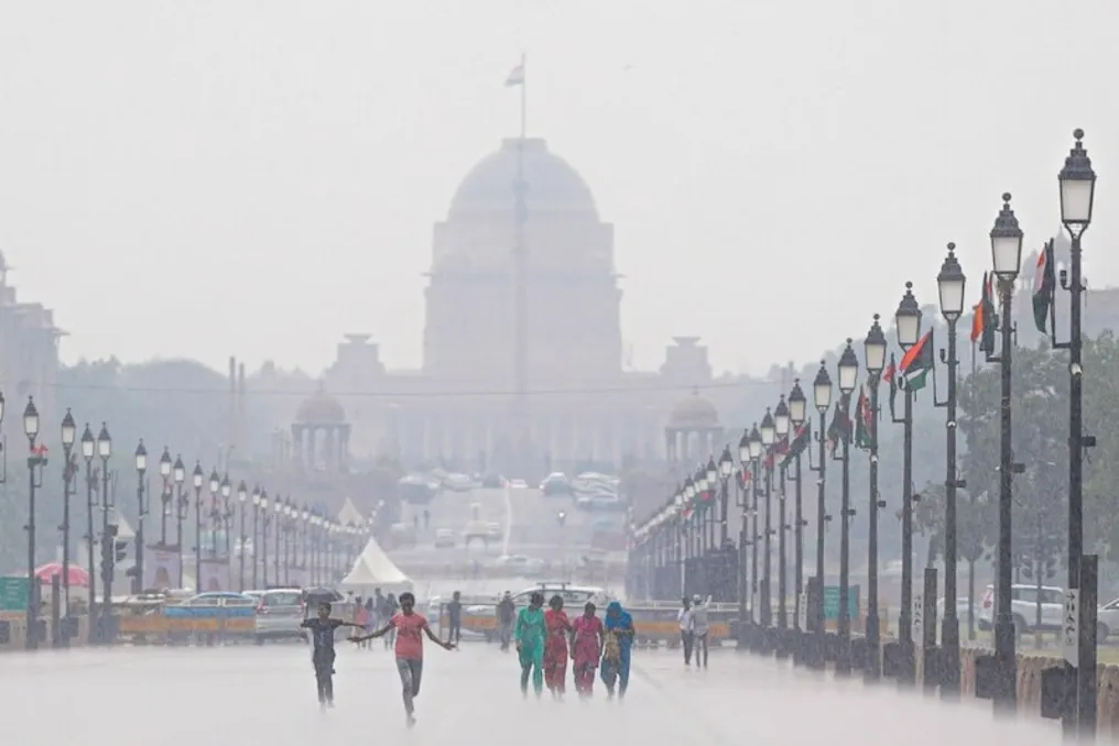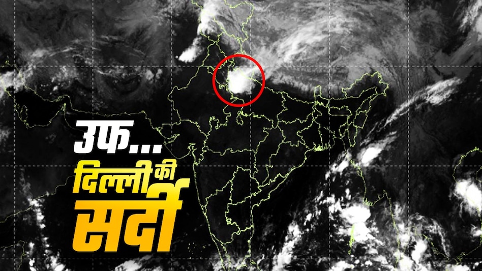
According to the latest forecast from the India Meteorological Department (IMD), heavy rainfall is possible in various locations across several states in North India over the next few days. Specifically, on October 12, heavy rains may be observed in Haryana, Chandigarh, Delhi, Himachal Pradesh, Jammu and Kashmir-Ladakh-Gilgit-Baltistan-Muzaffarabad, Punjab, and Uttarakhand.
Furthermore, there is a possibility of heavy rains between October 16 and 17 in Kerala, Mahé, as well as in Tamil Nadu, Puducherry, and Karaikal. The situation favors the return of the southwest monsoon. It is expected that the monsoon will retreat further from some areas of Eastern India, the Northern Peninsula, and many regions of Northeast India over the next two days. This shift should bring weather stability, but the risk of sudden showers and strong winds at the local level remains.
In Haryana, Chandigarh, Delhi, and Punjab, thunderstorms, lightning, and strong winds are forecasted from October 12 to 15 in various places. Wind speeds may reach 40-50 kilometers per hour, with gusts sometimes reaching 60 kilometers per hour. Residents are advised to exercise caution in open areas, avoiding being under trees or near tall buildings due to potential damage from strong winds. Farmers should take necessary measures to protect their crops.
In Western Rajasthan, wind speeds of 30 to 40 kilometers per hour are expected from October 13 to 15, with possible gusts up to 50 kilometers per hour. Caution is required in open areas under these conditions. Farmers are advised to take steps to ensure the safety of their crops.
A forecast for Delhi and the National Capital Region has been issued for the period from October 11 to 14. In the last 24 hours, a decrease of 2-3 degrees Celsius in maximum temperature was recorded, while the minimum temperature remained largely unchanged. Maximum temperatures fluctuated between 32-34 degrees Celsius, and minimum temperatures ranged from 21 to 24 degrees Celsius. The minimum temperature in some places was significantly above normal (by 3.1-5.0 degrees), and in others it was above normal (by 1.6-3.0 degrees), while in other parts it met the norm. Maximum temperatures in several places were below normal (from -1.6 to -3.0 degrees). The sky was partially covered with clouds, and the wind blew from the southeast at a speed of 22 kilometers per hour.
On October 12, partly cloudy skies are expected. The maximum temperature will be 32-34 degrees Celsius, and the minimum will be 22-24 degrees Celsius. Most minimum temperatures will be above normal (by 1.6 to 3.0 degrees), and maximums around normal. In the morning, the wind may blow from the southeast at 20 kilometers per hour; during the day, the speed will drop to 18 kilometers per hour, and in the evening and night, it will rise again to 20 kilometers per hour.
October 13 is also forecasted to have partly cloudy skies. The maximum temperature will be in the range of 32-34 degrees, and the minimum between 23 and 24 degrees Celsius. The minimum temperature is likely to exceed the norm, and the maximum will be close to it. In the morning, the wind may reach 22 kilometers per hour, dropping to 18 kilometers per hour during the day, and decreasing to 15 kilometers per hour in the evening and night. The wind direction will remain southeasterly.
On October 14, the sky will be partly overcast. A maximum temperature of 33-35 degrees Celsius and a minimum of 23 to 25 degrees Celsius are expected. The minimum temperature is likely to be above normal, and the maximum around normal. In the morning, the wind will blow at 20 kilometers per hour, during the day at 18 kilometers per hour, and in the evening and night it may increase to 20 kilometers per hour.
The withdrawal of the southwest monsoon is accelerating. There is a possibility of the monsoon retreating further from Eastern India, the Northern Peninsula, and many parts of Northeast India over the next two days. This will lead to relatively stable weather in North India, although local phenomena such as rain and storms are still possible. After the monsoon retreats, temperatures will begin to rise gradually, but nights will remain relatively cool. Moderate rains in Delhi-NCR may affect daily life. Although the probability of road flooding is low, inconveniences due to storms and strong winds are possible.
Farmers are advised to take measures to protect their crops from strong winds and rain. In hilly areas, the risk of landslides is increasing, so vigilance is necessary. Passengers are advised to monitor weather updates. Overall, the weather in North India in the coming days will be variable, with the possibility of rain and storms in different places.