Global food security faces a number of challenges, including climate change, conflicts, pollution, and over-exploitation of resources. The North and Central Asia region is at risk as human activity contributes to significant levels of desertification in arid lands and other fragile biomes.
Agriculture is the main source of employment in the region: it provides over 40 percent of the workforce in Tajikistan, over 30 percent in Azerbaijan and Georgia, and over 20 percent in Armenia, Turkmenistan, and Uzbekistan. This sector supports the lives of rural populations, who often belong to the poorest segments of society.
Through increased efficiency and optimization, the agricultural sector can save water and resources, increase yields, and adapt to new climatic conditions. This topic is central to celebrating World Food Day this year (October 16) under the slogan 'Innovations today. Nutrition tomorrow.'
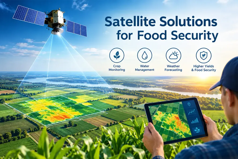
Geospatial technologies are already helping both farmers and decision-makers across North and Central Asia. However, the maximum benefit from these technologies depends not only on the technologies themselves but also on the collaboration of skills and institutions.
Application of geospatial technologies in agriculture
Geospatial technologies can support farmers in decision-making through specialized online platforms and applications. For example, in Kazakhstan, the AgroData application aggregates data from 226 agrometeorological stations, providing farmers with up-to-date information on weather, soil moisture, and crop status. Similar tools, such as Farmer App in Azerbaijan and KosmosAgro in the Russian Federation, allow tracking vegetation growth, assessing yields, and identifying pests.
A partnership was implemented in Kyrgyzstan with the World Food Programme, under which about 5,000 members of rural communities and farmers were trained to interpret and apply climate information using new portable equipment deployed in 13 locations. Furthermore, Kyrgyzstan is developing a free AgroMap application for farmers that will provide real-time data on environmental and agronomic conditions.
Satellite technologies also play a role in shaping policy at local and national levels. In Turkmenistan, GIS was used in the Altyn Asyr lake area to determine suitable land for agriculture. In Kazakhstan, the AgroSpace platform provides geospatial data on agricultural land, allowing for the justification of subsidy applications by mapping and verifying field boundaries, cropping history, and current crop status.
Capacity building and project support
The effective use of these tools also requires the presence of relevant skills. In 2024, UNDP (ESCAP), with support from the Russian Federation, launched a project aimed at strengthening the capacity of Central Asian countries in using Earth observation (EO) technologies and geospatial data to monitor agricultural conditions and drought impacts. By July 2026, training events for this project covered more than 140 technical specialists and experts from space agencies, hydrometeorological services, research institutes, and universities.
The project, which involves Kyrgyzstan, Tajikistan, and Uzbekistan, receives technical support from nodes of the Regional Drought Mechanism in China, India, and the Russian Federation. It has also helped the countries establish national drought monitoring systems, including demonstrating a prototype of the national portal developed by Uzbekspace for accessing, visualizing, and analyzing drought and crop data obtained via EO. EO cloud platforms have also contributed to solving digital infrastructure and connectivity issues in Kyrgyzstan and Tajikistan.
Importance of institutional interaction
The institutional aspect is also critically important. For satellite data to consistently influence food and agricultural policy, it must be integrated into official statistics. This depends on two groups of institutions that have not always interacted properly: national statistical offices responsible for conducting censuses and surveys and publishing official indicators; and geospatial and cadastral agencies that own maps, imagery, and land registries linking these indicators to specific locations.
The Global Geospatial Statistical Framework (GSGF), developed jointly by global statistical and geospatial communities, defines methods for connecting these two groups. Uzbekistan is actively implementing GSGF. Parallel to the first post-independence census of population and agriculture, the National Statistical Committee of the Republic of Uzbekistan uses satellite imagery to map land use, starting with Tashkent region. This approach combines satellite imagery and machine learning with cadastral plot boundaries, allowing land use and planted areas to be measured per individual field, rather than per pixel.
Neighboring Kyrgyzstan demonstrates the results of such cooperation. With support from the UNDP big data project for official statistics, the National Statistical Committee of the Kyrgyz Republic and the national land resource management institute Kyrgyzgiprozem geocoded the 2022 population census and used geospatial data to calculate SDG indicators on access to rural roads and land use, which formed the basis for the country's National Voluntary Review for 2025. The committee has since adopted a national roadmap to expand this approach to other indicators.
As extreme weather events become more frequent and slow-developing environmental crises intensify, the need for adaptation and resource management becomes evident. Geospatial innovations, supported by appropriate skills and institutions, can help address these challenges. The problems faced by North and Central Asia are examples of global challenges, and the region's successes can serve as inspiration for the entire world. Many of the examples cited above will be presented in the upcoming UNDP collection 'Geospatial Practices for Sustainable Development in North and Central Asia 2026.'