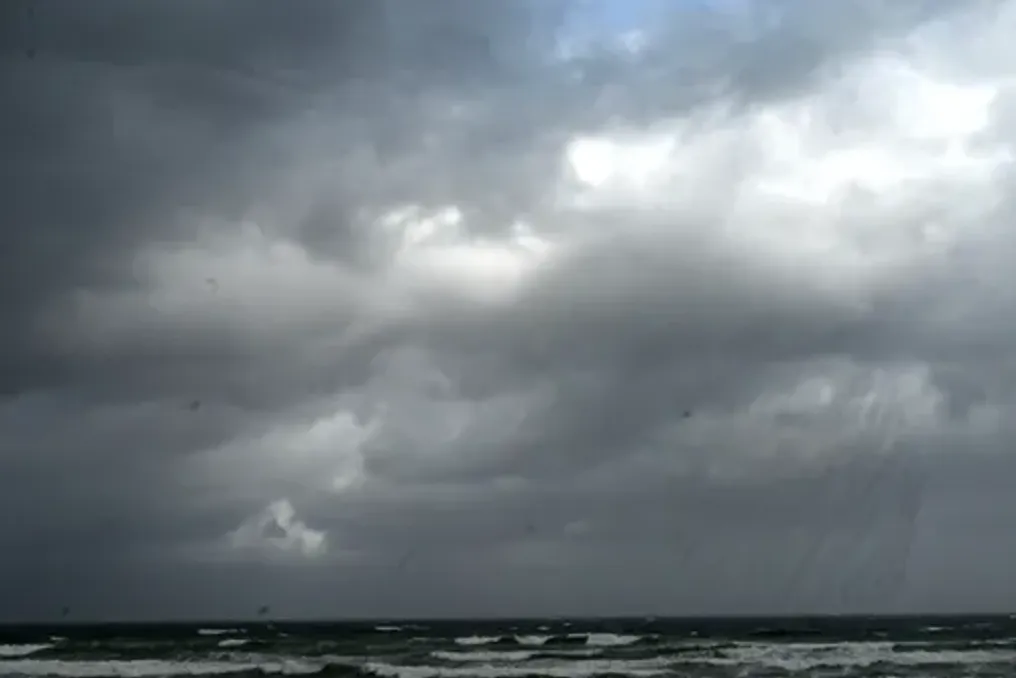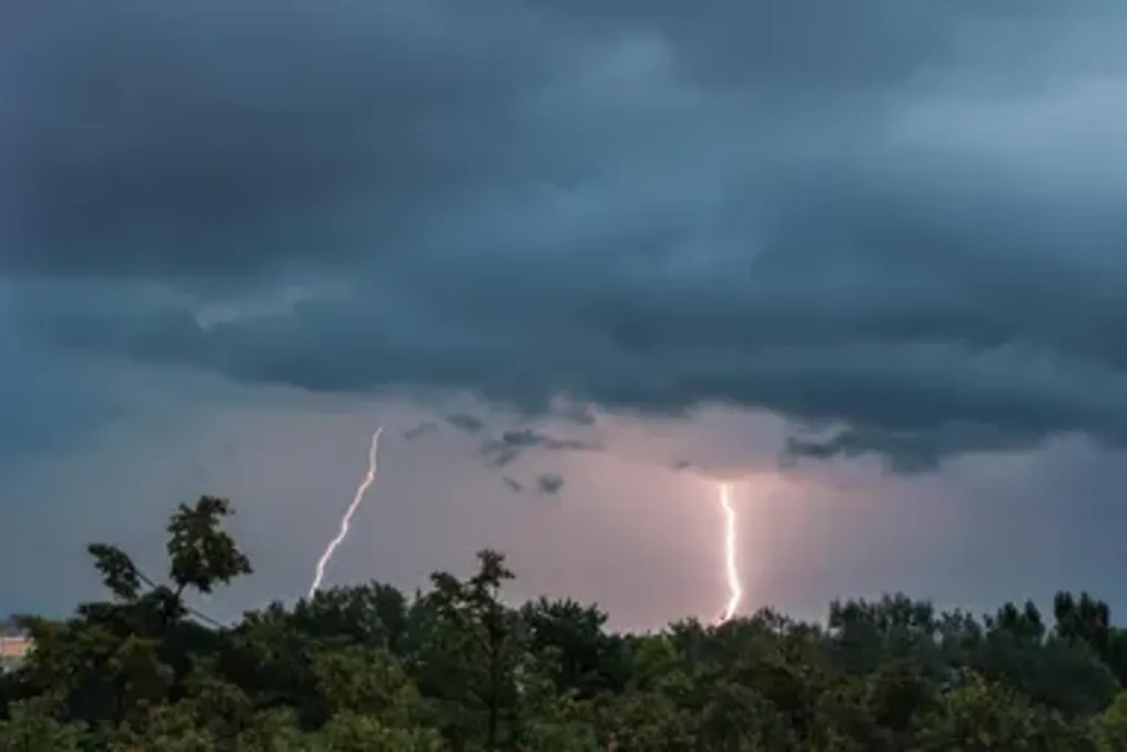
The South African Weather Service has warned of possible severe thunderstorms and localized flooding in the Mpumalanga and KwaZulu-Natal regions on Saturday.
Residents of South Africa are preparing for a weekend with contrasting weather conditions: some areas are expected to experience severe thunderstorms, torrential rain, hail, and gusty winds, while other regions will face scorching heat and extremely high fire danger.
SAWS issued a Yellow Level 2 warning for severe thunderstorms on Saturday, with the greatest impact expected in Mpumalanga and KwaZulu-Natal.
This warning comes as large parts of the country prepare for afternoon downpours and thunderstorms, with the probability of precipitation ranging from 30% to 60% in several provinces.
According to SAWS, severe thunderstorms may trigger localized flooding of roads, low-lying areas, and bridges, while strong winds, hail, and lightning can damage infrastructure, housing, vehicles, and livestock.
The warning is valid from 13:00 to 22:59 on Saturday, with the highest risk in Mpumalanga Highlands and northwestern KwaZulu-Natal.
Mpumalanga and KZN on alert for severe storms
Mpumalanga is expected to have partly cloudy and warm weather on Saturday with isolated or scattered showers and thunderstorms. The probability of precipitation will reach 60% in some parts of the province, especially in the Highveld area, where thunderstorms may intensify in the afternoon and evening.
In Lowveld, heat will persist in places, and morning fog is expected over the eastern areas. In KwaZulu-Natal, the day will start with hot or very hot weather across most of the province, followed by an increase in cloud cover leading to rain and thunderstorms in the afternoon.
The northwestern parts of the province have a 60% chance of rain, with severe thunderstorms capable of causing torrential rain, hail, gusty winds, and lightning. In other parts of the province, the probability of rain and thunderstorms is 30%. SAWS warned that storms could cause localized damage to informal settlements, property, and infrastructure, and lightning activity could disrupt municipal services.
Gauteng anticipates afternoon thunderstorms
Residents of Gauteng are forecast partly cloudy and warm or hot weather on Saturday with isolated afternoon showers and thunderstorms. The probability of precipitation in the province is 30%, with eastern areas potentially experiencing stronger thunderstorms. SAWS also identified the easternmost parts of Gauteng as an area where thunderstorms could become severe.
Residents are advised to exercise caution during thunderstorms, especially when traveling on roads at risk of flooding. The UVB sunburn index is expected to remain high.
Rain will extend to Free State, North West, and Eastern Cape.
North West and Free State will experience good weather early Saturday before becoming partly cloudy and warm or hot. Both provinces have a 30% chance of isolated showers and thunderstorms, with thunderstorms likely developing later in the day.
Eastern Cape is expected to have unstable conditions throughout the interior, with precipitation chances ranging from 30% to 60%. The northern and eastern interior parts will see isolated or scattered thunderstorms, while some parts of the southern coast will remain cloudy and cool. Morning fog and drizzle are also expected in areas south of the escarpment.
Limpopo and North Cape face dangerous fire conditions.
While thunderstorms threaten parts of the country, extremely high fire risks are expected in Limpopo, parts of the North Cape, and western Free State. Limpopo will have partly cloudy and warm or hot weather, with very hot conditions in some areas. Southern parts of the province have a 30% chance of isolated showers and thunderstorms, while most of the northern interior is expected to remain dry.
The North Cape will also experience warm or hot weather, with isolated thunderstorms carrying a 30% chance of rain in some inland areas. Coastal areas will remain cooler, and fresh or strong southerly to southeasterly winds are expected in the afternoon.
Western Cape avoids widespread thunderstorms
The Western Cape is expected to experience relatively stable weather on Saturday, with good or partly cloudy skies in most areas. Over the Overberg region, cloudy weather is forecast in the morning, while the northwestern and eastern inland areas will be hot. No significant widespread rainfall is expected, although coastal winds will pick up in the afternoon. The UVB sunburn index is predicted to be very high, increasing the risk of sunburn during prolonged outdoor exposure.
Sunday will bring more rain as unstable weather continues.
The unsettled weather pattern is expected to last until Sunday, October 11, with the possibility of thunderstorms remaining in the central and eastern regions of the country. According to the Sunday weather forecast, parts of the Eastern Cape will again face a 60% chance of rain and thunderstorms, especially over the eastern interior.
Gauteng, North West, and parts of the North Cape are expected to have a 30% chance of rain as afternoon thunderstorms develop. Cooler conditions are expected in some parts of the Eastern Cape and southern interior, while warm or hot weather will persist in parts of Limpopo, Mpumalanga, and the western interior. The Western Cape is expected to remain mostly dry, with good or partly cloudy skies and cooler temperatures along the coast.
Residents advised to remain vigilant
Due to the forecast of severe thunderstorms on Saturday, drivers are advised to avoid flooded roads and bridges, and residents in storm-prone areas should remain vigilant due to rapidly changing conditions. People outdoors should seek safe shelter if thunderstorms develop and avoid open areas during lightning activity. SAWS strongly urges the public to monitor official weather warnings and forecast updates as conditions evolve over the weekend.