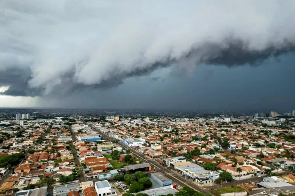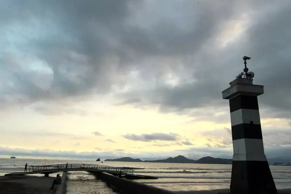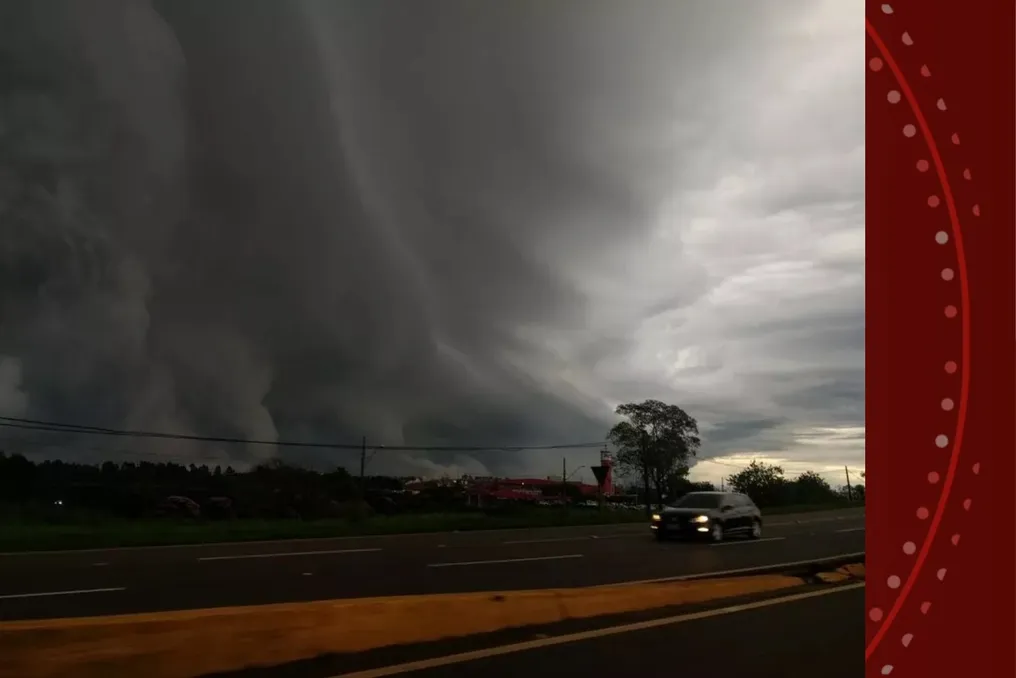
The state of Paraná is expected to face rain and storms during the election weekend, according to information provided by Climatempo, the National Institute of Meteorology (Inmet), and the State Environmental Technology and Monitoring System (Simepar).
Meteorologists agree that the arrival of a cold front late Saturday (the 3rd) will cause showers throughout the day, culminating in thunderstorms with strong winds, lightning, and hail during Saturday night and Sunday morning (the 4th).
On Friday, October 2nd, Climatempo predicts stable weather in Paraná, although there will be more cloudiness near the coast. There is a chance of light and isolated rain only in the north and northeast of the state, while the rest remains dry.
Simepar reports that, in most of the interior, the sun will appear in the morning, raising temperatures. In the western region, highs may reach 30ºC in the afternoon, when quick and isolated rains might occur between Campos Gerais and the north, but without signs of thunderstorms.
Saturday, October 3rd
On this Saturday, instability will begin to manifest in Paraná. Climatempo attributes this increase in cloudiness and showers to the action of low-pressure areas, initially more concentrated in the west, center, and north of the state, which may affect other regions.
Simepar indicates that despite persistent cloudiness in the east during the morning, the sun will emerge throughout the day. In the interior, the sky will have few clouds in the morning, contributing to warming. However, from the afternoon, localized and quick rains are expected, with the possibility of more intense showers.
During the night, the approach of a cold front will bring strong storms—characterized by intense rain, strong wind, many lightning strikes, and even hail—affecting the northwest, west, southwest, and south-central regions, according to Simepar.
Sunday, October 4th
On Sunday, the instability will intensify, and precipitation will spread across almost all of Paraná. Climatempo's forecast indicates that the combination of low-pressure systems with the advance of the cold front will favor periods of rain and showers, with potential for heavy rain, thunder, strong winds, and hail, especially in the west, north, and center of the state.
Simepar's models indicate that thunderstorms tend to concentrate between the early morning and the start of the morning. Although some rain events may occur in the afternoon and evening, they will be more sporadic. For Monday and Tuesday, the weather will remain very unstable due to the intensification of a low-pressure system in neighboring countries.