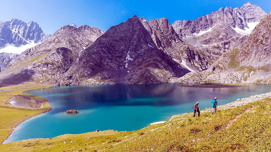
An early warning system is being installed in the Chamoli district of Uttarakhand state to monitor the threat of Glacial Lake Outburst Floods (GLOFs) originating from the Vasundhara Tal glacial lake. This installation is the first of its kind placed on a glacial lake in Uttarakhand. Its purpose is to continuously track the water level in the lake and any changes in the surrounding terrain.
This campaign is being conducted under the supervision of the Uttarakhand State Disaster Management Authority (USDMA) and will last until October 15th. For this, a team of scientists and technical experts traveled from Dehradun to Vasundhara Tal. The group includes specialists from the Central Building Research Institute (CBRI) in Roorkee and the Wadi Institute of High Altitude Geology in Dehradun. Military personnel from SDRF, NDRF, and ITBP have also joined the team.
Vasundhara Tal is one of 13 glacial lakes classified by the National Disaster Management Authority (NDMA) and technical institutions as high-risk lakes. A sudden release of a large volume of water from a glacial lake can cause severe flooding in downstream areas. It is because of this danger that observation of these lakes is being intensified.
GLOF, or Glacial Lake Outburst Flood, occurs when water from a lake near a glacier suddenly bursts out. This can lead to very rapid water movement downstream and create a flood threat. Meltwater accumulates in glacial lakes. The risk increases if there is intense snowmelt or heavy rainfall, which leads to an increase in the lake's water level. Furthermore, changes to the ice or earthen dam holding the lake, or landslides, also increase the danger.
The system being installed at Vasundhara Tal will use sensors, satellite communication, and real-time data monitoring. Sensors will collect information about the condition of the lake and its surroundings. This data will be constantly monitored to promptly detect any significant changes in the lake. Since mobile and conventional communication methods are often unavailable in the Himalayan high-altitude regions, satellite data transmission will be extremely useful. This will allow scientists and administrators to monitor the lake's condition remotely.
According to data from the National Remote Sensing Centre (NRSC) for 2023, 344 glacial lakes have been identified in Uttarakhand, of which 13 are classified as high-risk lakes. Six of these are in Pithoragarh, four in Chamoli, and one each in Bagheshwar, Tihri, and Uttarkashi. Six of these 13 lakes have undergone bathymetric surveys. These include Saraswati Tal and Vasundhara Tal in Chamoli, Kedartal and Mabang, and Pyungru and Sukti Yankti in Pithoragarh. This survey provides information about the lake's depth and the volume of water it contains.
The work initiated at Vasundhara Tal is part of a plan to enhance monitoring of Uttarakhand's glacial lakes. The state government plans to strengthen similar systems in high-altitude areas in collaboration with scientific institutions, experts, and disaster management agencies. This will help in timely understanding of changes occurring in the glacial lakes. If a risk situation arises in any lake, the relevant departments will receive advance information, providing more time to take necessary measures.