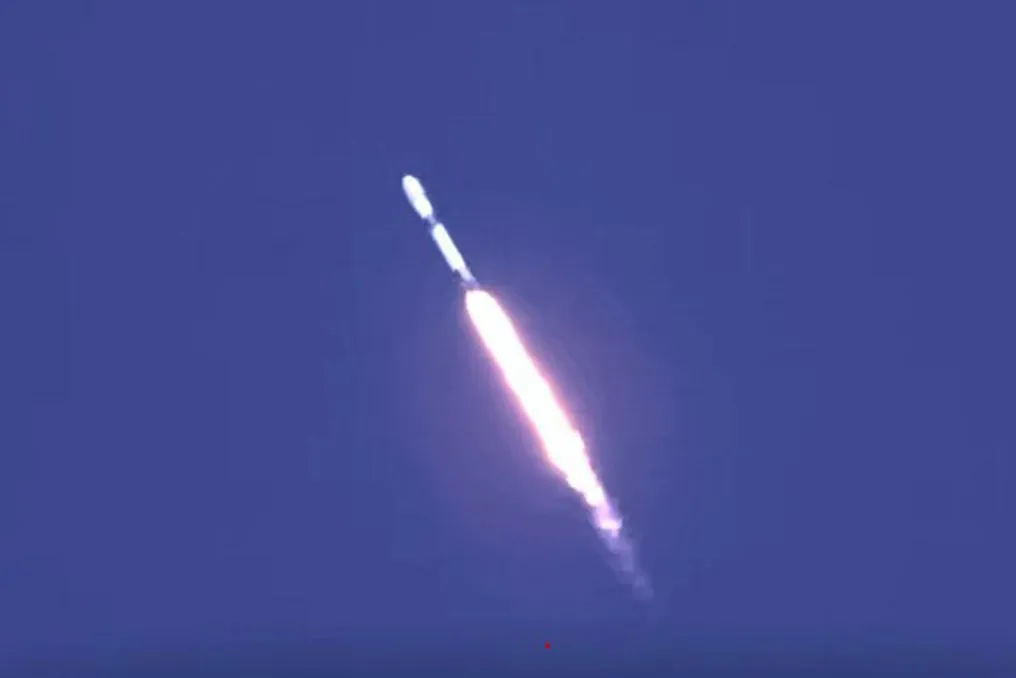
Kyrgyzstan has successfully placed its first national satellite into orbit, which was designed and created by domestic specialists. The launch took place on October 1st from the Vandenberg Space Force Base in California, using a Falcon 9 rocket from SpaceX.
The President of Kyrgyzstan, Sadyr Japarov, attended the event while on a working visit to the USA. This spacecraft joined a group of satellites launched by one rocket, and its control will be managed from a center in Bishkek, according to information from the press service of the President's administration of Kyrgyzstan.
The creation of the satellite resulted from cooperation between Kyrgyzstan and the United Arab Emirates. The development process took approximately 2.5 years, during which specialists completed the assembly of key components, installed electronic equipment, and conducted necessary system checks.
Main areas of satellite use
The primary application area for the new satellite is agriculture. Data received from the spacecraft will allow for assessing the condition of pastures and agricultural lands, tracking any changes in these territories, and using the obtained information for forecasting purposes.
As noted by Erlist Akunbekov, Minister of Water Resources, Agriculture, and Processing Industry of Kyrgyzstan, the satellite will enable the analysis of the environmental condition, assessment of emergency situation consequences, as well as monitoring of water resources and glaciers. He emphasized that the priority use will remain the development of the agrarian sector.
Furthermore, satellite data will be used to monitor forests, water bodies, and ecosystems, as well as to determine the risks of natural disasters, including droughts, landslides, mudflows, floods, and forest fires. Space monitoring is also aimed at identifying illegal subsoil use, unauthorized landfills, and pollution sources.
In the future, satellite information is planned to be integrated into state digital systems to form analytical models and spatial maps. The President's administration reported that this data will serve as the basis for making state decisions, investment planning, and monitoring the implementation of state programs.
Previously, on August 5th, the Samarkand-2028 satellite, created as part of a partnership between Uzbekistan and STAR.VISION, along with the Lampung-1 satellite, was launched from a sea platform off the coast of Shandong province in China. Specialists from the Uzbekcosmos agency integrated an artificial intelligence module into the onboard system of Samarkand-2028, which enables the processing of hyperspectral data directly in orbit, thereby increasing the efficiency of its subsequent analysis and transmission.
