Cooler weather, rain, and thunderstorms expected in South Africa this week
Read more
IOL
iol.co.za

Cooler weather, rain, and thunderstorms expected in South Africa this week

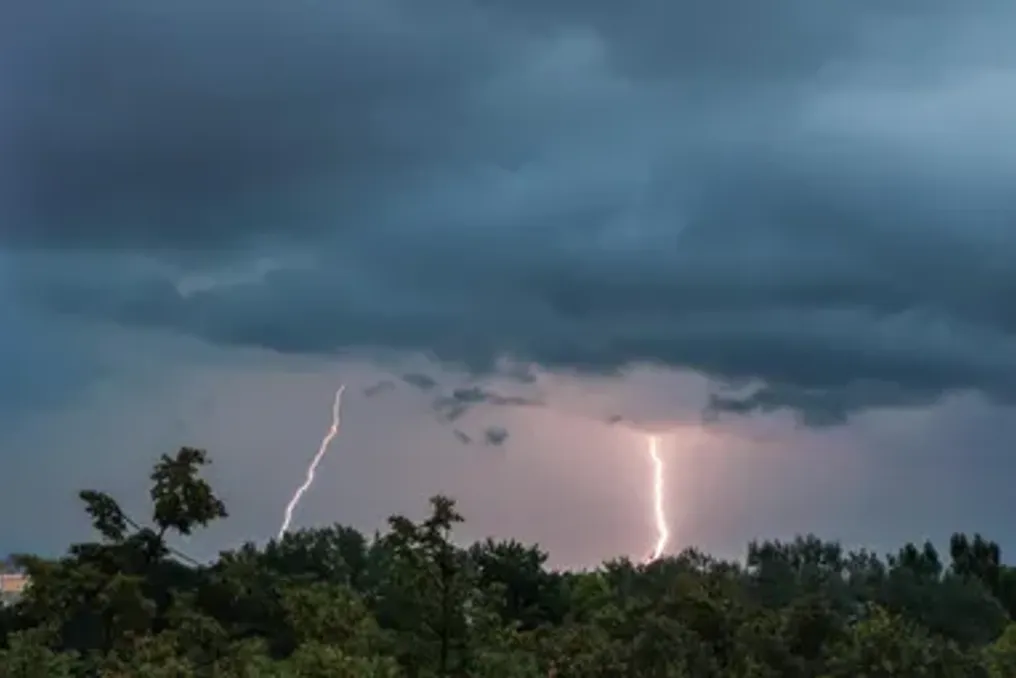
Residents of several parts of South Africa may expect a change in weather this week: a drop in temperature, precipitation, and thunderstorms are forecast for the central and eastern regions starting Monday.

The most noticeable changes are expected in Gauteng, where temperatures will drop sharply on Tuesday due to the movement of unstable weather across the province. According to the latest forecasts, Johannesburg may reach around 27°C on Monday with expectations of brief rain and thunderstorms, while Pretoria is expected to be around 29°C.

On Tuesday, the weather in Gauteng is expected to become significantly cooler: Johannesburg is forecast to have only about 21°C, and Pretoria about 25°C. Rain and thunderstorms are again predicted throughout Gauteng during the day. Cooler conditions will persist into Wednesday, when the maximum temperature in Johannesburg may reach around 20°C.

Rain and cooling in KwaZulu-Natal

KwaZulu-Natal is also expected to have unstable weather, especially along the coast. In Durban on Monday, a temperature of around 19°C with light rain is forecast, and it may get even cooler on Tuesday, reaching approximately 18°C, with the probability of precipitation remaining.

It will be warmer in the inland areas: Pietermaritzburg is forecast to be around 22°C on Monday, and Newcastle up to 29°C. The South African Weather Service (SAWS) is monitoring the weather conditions in the province; warnings for destructive waves along part of the KwaZulu-Natal coast and strong thunderstorms in some areas are currently in effect.

Warmth and clear skies in the Western Cape

The Western Cape promises a completely different weather pattern. On Monday, Cape Town is expected to be around 22°C with clear skies, and by Tuesday, the temperature will rise to approximately 26°C. The city is expected to remain dry and clear on Tuesday, meaning that the cooler and wetter conditions affecting Gauteng and parts of KwaZulu-Natal will not be observed in the Western Cape.

Forecast for the rest of South Africa

Several other provinces will also face variable weather. Free State is forecast to have rain and thunderstorms on Monday and Tuesday, with Bloemfontein expected to be around 25°C on Monday and 22°C on Tuesday.

Limpopo is expected to have rain and thunderstorms, and the temperature in Polokwane will drop from approximately 27°C on Monday to 22°C on Tuesday. Mpumalanga may see rain on both days, while the North West region expects rain and thunderstorms, especially as temperatures fall on Tuesday.

The Northern Cape should be relatively dry on Monday, although rain and thunderstorms are forecast in some parts of the province on Tuesday. In the Eastern Cape, Gqeberha will remain cool, with rain on Monday and a maximum temperature of only around 17°C; conditions should clear up by Tuesday.

Latest provincial forecasts indicate that while spring temperatures remain warm in some areas, the week will begin with a noticeable shift towards cooler and more unstable conditions in different parts of the country.

Similar stories

Weather forecast for South Africa: thunderstorms and rain expected in several provinces on Tuesday
Read more
iol.co.za

Weather forecast for South Africa: thunderstorms and rain expected in several provinces on Tuesday

The South African Weather Service forecasts localized thunderstorms in several provinces of South Africa for Tuesday. Residents of the country should expect a combination of warm weather, morning fog, and afternoon thunderstorms, with possible precipitation over large areas of the country.

The South African Weather Service community specified that no severe weather warnings, fire danger warnings, or any other notifications were issued for Tuesday, September 22nd.

Afternoon thunderstorms across South Africa

Gauteng is expected to have variable cloudiness and temperatures ranging from cool to warm, with isolated showers and thunderstorms developing in the afternoon. The Ultraviolet Radiation (UVB) index will be high.

Similar conditions are forecasted for the North West province, where isolated afternoon showers and thunderstorms are expected. In Free State, the day will begin with patches of fog in the east and along the Lesotho border, after which the weather will become variable cloudiness and cool to warm. Isolated afternoon showers and thunderstorms are also predicted.

In the Mpumalanga province, it will be partly cloudy in the morning, with fog expected over parts of Highveld. The weather will transition to variable cloudiness and become cool, with isolated showers and thunderstorms. Louwveld is expected to have warmer weather.

In Limpopo, there may be cloudiness, drizzle, and fog along the escarpment in the morning. Later in the day, isolated showers and thunderstorms are forecast in the central and southeastern parts of the province.

Thunderstorms possible

The Northern Cape will experience morning fog in the south, followed by variable cloudiness and cool to warm weather. Isolated afternoon showers and thunderstorms are expected in most areas, except for the northwest.

The Western Cape will be cloudy with morning fog along the southern coast before the weather becomes variable cloudiness and warm to hot. Isolated afternoon showers and thunderstorms are expected in some parts of the province, excluding the far southwest. The UVB index will be very high.

Eastern Cape expects afternoon rain

Both halves of the Eastern Cape have a chance of afternoon showers and thunderstorms. The western half will be variable cloudiness and warm after morning fog south of the escarpment, with scattered thunderstorms expected in the western areas from noon.

The eastern half will also face morning fog south of the escarpment, followed by variable cloudiness and cool to warm weather, as well as isolated afternoon showers and thunderstorms.

KwaZulu-Natal to see isolated storms

KwaZulu-Natal will start Tuesday with morning fog over inland areas, then the weather will become variable cloudiness and cool to warm. Isolated afternoon showers and thunderstorms are expected, while sea winds during the day will change from southerly to southwesterly, then easterly and northeasterly. The UVB index will be high.

Despite the forecast of thunderstorms over a wide area of the country, the weather service has not issued any severe weather warnings for Tuesday.

Popular