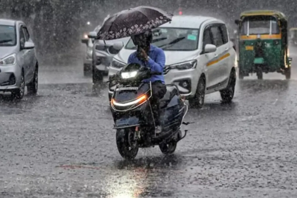
As September concludes, the weather in many regions of the country is changing: strong precipitation, thunderstorms, and high winds are being observed, causing concern. In mountainous areas, the risk of flash floods and landslides persists amid the rains. The Meteorological Department (IMD) has issued a warning for rain, storms, lightning strikes, and strong winds, which is also effective on September 28 in several states.
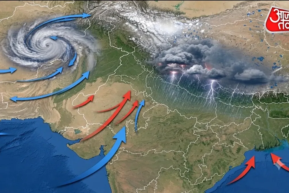
Although the southwest monsoon in India is in a withdrawal phase, the weather remains active in many places. According to IMD data, the tropical disturbance line of the retreating monsoon passed through Gurdaspur, Chandigarh, Muzaffarnagar, Aligarh, Dauhampur, Udaipur, Disa, and Naliya, reaching the Arabian Sea on September 27. Furthermore, a low-pressure area has formed over the northern part of central Uttar Pradesh, which is expected to shift in a north-northwesterly direction and begin to weaken over the next 12 hours.
This may lead to the persistence of rainfall in some parts of North India. Another low-pressure area has also formed near the southern coast of Myanmar. It may move towards the North Andaman Sea and then towards the coast of the Bay of Bengal and neighboring Bangladesh. This weather phenomenon could potentially cause rain in some areas of Eastern and Northeast India.
In Delhi and NCR, partly cloudy skies are expected on September 28, with a possibility of light drizzle in some zones. The maximum temperature may reach around 31 degrees Celsius, and the minimum will be 20 degrees Celsius. By September 29, clearer weather is anticipated in Delhi, with a slight increase in temperature. On that day, the wind from the northwest may blow at a speed of about 18 kilometers per hour.
Following recent heavy rains in Uttar Pradesh, signs of improvement are gradually appearing. No warnings for heavy rainfall have been issued for the state on September 28. Nevertheless, the weather system in the northern part of central Uttar Pradesh has not yet dissipated, and rains may continue in some places as it moves. Very heavy rainfall, exceeding 30 centimeters in some areas, was recorded in Eastern Uttar Pradesh on September 27.
Very heavy rains were also noted in Western Uttar Pradesh. Persistent precipitation has negatively affected people's lives, causing flooding in many places. On September 28, rain and thunderstorms are possible in some parts of Western and Eastern Uttar Pradesh, but a decrease in precipitation intensity is forecast.
In Bihar, a period of rain and thunderstorms accompanied by strong winds is expected in several districts from September 28 to October 1. Although no heavy rainfall warning has been issued at the moment, very heavy rains were registered in some parts of Bihar on September 27. Precipitation may continue in the coming days, but a gradual decrease in intensity is expected.
In Uttarakhand, heavy rains are possible in isolated places on September 28, along with the threat of thunderstorms and lightning. Within the next 24 hours, there is a danger of flash floods in some areas of Uttarkashi, Dehradun, Tehri Garhwal, Chamoli, and Rudprayag. Rain and thunderstorms are also forecasted in Himachal Pradesh; residents of Kinnaur, Shimla, and Sirmaur are advised to remain vigilant. During heavy rainfall in mountainous areas, the risk of landslides and road closures increases.
Rain and thunderstorms are also possible in Panchabagh, Haryana, and other parts of Northwest India. Very heavy rainfall, ranging from 12 to 20 centimeters, was recorded in Uttarakhand and Western Uttar Pradesh on September 27.
Rainfall is expected to continue in Madhya Pradesh from September 28. In Western Madhya Pradesh, rain is forecast from September 28 to 30, and in Eastern Madhya Pradesh, from September 28 to October 1. Thunderstorms and lightning are possible in some areas. Rains may also occur in Vidarbha, and rain and thunderstorm activity is expected in Chhattisgarh.
Active weather is expected in several Northeastern Indian states on September 28. Rain is possible in Arunachal Pradesh, while Assam, Meghalaya, Nagaland, Manipur, Mizoram, and Tripura are also forecast to receive precipitation. In Assam and Meghalaya, strong winds of 40–50 kilometers per hour are expected from September 28 to 30, with maximum speeds potentially reaching 60 kilometers per hour. Such weather is likely in Nagaland, Manipur, Mizoram, and Tripura from September 28 to October 1.
In West India, rain is possible in Gujarat, Konkan, Goa, and Central Maharashtra. Rainfall is also expected in Marathwada on September 28. Central Maharashtra is expected to experience strong winds of 30–40 kilometers per hour on September 28, with gusts up to 50 kilometers per hour. Strong winds are also forecast in Marathwada.