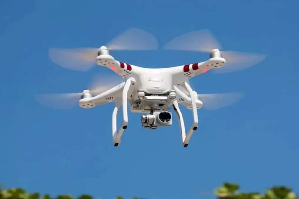
To make the determination of property tax in Delhi more modern and transparent, the Municipal Corporation of Delhi (MCD) has launched a pilot project based on Geographic Information Systems (GIS) and a three-dimensional digital twin using drones.
In the first phase, the drone survey is being conducted in the Rohini area, specifically in the F-sector of Rohini, as well as in the Garoli sector in the Shahdara South area.
Technologies such as drone aerial photography, LiDAR, GIS, Artificial Intelligence/Machine Learning (AI/ML), geo-tagging, and three-dimensional digital modeling will be used during this survey. The goal is to create a more accurate and integrated digital database of Delhi's real estate properties.
The drone survey will enable the identification of unregistered and undervalued properties, as well as incorrect or duplicate records, and additional floors or structures that were not accounted for in existing records. Furthermore, it will help determine discrepancies between the declared and actually constructed area.
According to the MCD, the GIS and 3D data will allow for a more scientific assessment of the built-up area, number of floors, and property usage category. This will reduce dependence on manual checks and ensure uniformity in tax assessment.
This digital system will also assist in identifying tax discrepancies, issuing notices, monitoring arrears, and developing dashboards for controlling revenue collection at the ward and zone levels.
The MCD asserts that this initiative will increase transparency for citizens regarding property registration and taxation. Accessible geo-tagged property information will speed up complaint resolution, and the need for unnecessary personal contact with officials and manual inspections will decrease.
The MCD clarified that the drone survey technology is a mapping and verification practice, and the resulting information will be used for property tax determination and administrative purposes in accordance with current regulations.